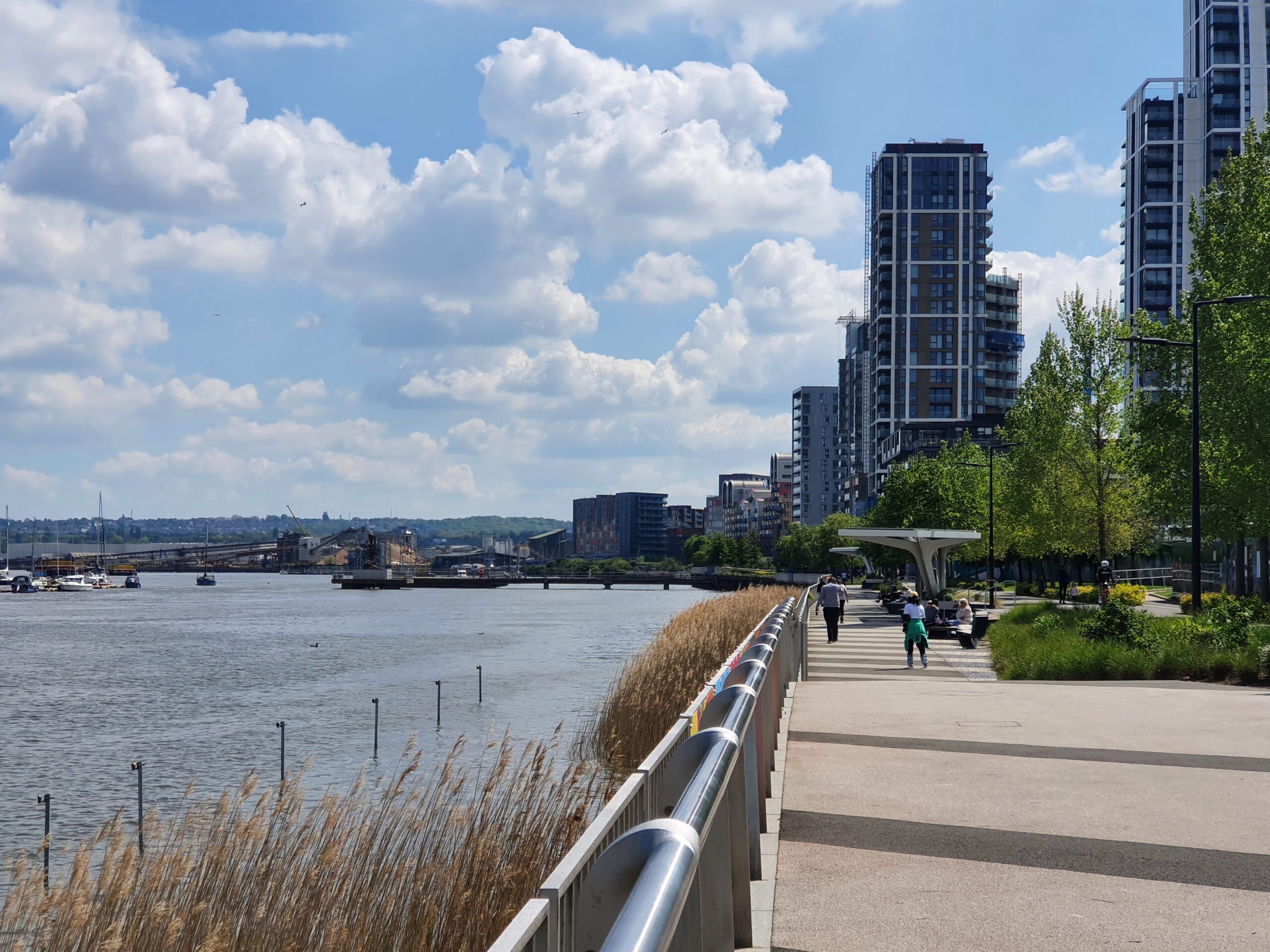
Thames Path improvements: Greenwich councillors set out a plan
A panel of Greenwich councillors is calling for measures to enhance and protest the Thames path in the borough.
A report “Rethinking the riverside: A review of the Thames Path” lays out how the council “can use its powers and partnerships to make the riverfront safer, better connected and more enjoyable for everyone who lives, works or visits the borough.”
The riverside path extends for miles across Greenwich borough from Thamesmead in the east to Deptford in the west.
The path has seen improvements over the past decade including back in 2018 when an excellent addition was completed at a cost of £1.5 million near the Thames Barrier.

However sometimes it appears Greenwich planners place too much emphasis upon it at the expense of street improvements in land.
One stark example is 333 homes being built in West Thamesmead. Links to Plumstead station are poor and the walk to Woolwich Elizabeth line station isn’t the best.

Transport for London suggested Greenwich utilise Section 106 income to improve walking links to stations including new street crossings.
Greenwich planners ignored the suggestion instead stating people could use the Thames Path. A far more circulatory and indirect route. People may use that for a nice Sunday morning stroll. Not rushing to work at 7:30am on a west Monday.

That clearly demonstrated not just a lack of local knowledge and simple understanding of what can make walking and cycling appealing.
We’ve seen similar reliance at the expense of improvements elsewhere. Grotty old Woolwich High Street is poor on foot and bike. Few improvements are confirmed despite a vast amount of development all along its length, with the longer Thames Path route recently suggested if on a bike.
In addition there’s a forthcoming cycle lane through the town centre but again it’s not the fastest route and it will send people down pretty narrow town centre shopping streets.
Recommendations
The report has a number of logical recommendations after conducting consultation earlier this year.
Potential improvements along the Thames Path including:
- Requiring at least one animated feature (café, play area, art installation, or event space) in every section, with direct links to the Local Plan and regeneration frameworks.
- Provide incentives for business start-ups, pop-ups, cultural events, and Sunday markets along new and upgraded stretches; work with tourism agencies and river operators to ensure proper promotion and integration.
- Develop more active frontages, seating, gathering areas, and information points, especially in less commercialised zones.

- Establish a riverside business network within the borough to engage leisure, industrial and creative businesses who operate along the river in Thames Path planning and promotion.
- Connect the Thames Path with jetties and piers along the river. Integrate river transport, such as the Thames Clipper (Uber Boat) stops, with the path to enhance accessibility and support tourism.
Charlton homes
Some of the biggest changes for the Thames Path in the next decade will be around Charlton riverside.
Though having said that, it’s now ten years since the masterplan adopted and little has been built.

One site approved more than three years ago is Herringham Road. Hyde are the landowner here.
It’s all been cleared but no building has begun.
The stretch of Thames Path through Charlton is a lovely part with a strong industrial feel.

History abounds with more than a hint of melancholy when passing sites such as old tracks still in situ.
This is Durham Wharf where coal and sand were once unloaded onto trains.
The path winds its way through industry and wharves including a spot near Angerstein Wharf.

Trains do still serve the area via the branch line peeling off just west of Charlton then swinging to the the north.
The below photo was taken from a foot crossing Network Rail unsuccessfully sought to close.

Given trains pass through at about 5mph with staff looking out at track level any safety concerns were strongly exaggeration. Strong Austin Powers connotations about that thankfully overturned decision.
The alternative was to send pedestrians down some grotty walks alongside lorries doing far higher speeds.
Greenwich
Another somewhat sleepy stretch of the Thames Path can be found on the western half of Greenwich peninsula.
This is where Greenwich’s very own beach can be found, and the future site of 1,500 homes at Morden Wharf.

This site will be transformed when 1,500 homes are built.
And like the west end of the borough, areas to the east will too change.

Woolwich Waterfront will be redeveloped which should make the foot tunnel far more of a feature and open up links to Hare Street and Woolwich town centre.
And further east there’s large amounts of Thamesmead that sit beside the river which will undergo substantial.
Lack of engagement
According to the report various developers who own land along the riverside were asked to give further information following a boat tour along the river.
Only Knight Dragon did so. Peabody, Berkeley Homes and Hyde have not.

The Knight Dragon survey reply was however amusing. More public money please. They stated “We are trying to let the vacant units on the path. Subsidy would be helpful here as there is simply not enough footfall at present”.
Yep, this is the same Knight Dragon who have built at a glacial pace across the peninsula since taking control almost 15 years ago despite numerous planning approvals.

Outline approvals have increased housing totals twice and now reach 17,500 homes while detailed proposals at a number of plots were approved more than a decade before work began – if at all so far.
They’ve already pushed back commitments such as rebuilding the bus station when 3,000 homes were completed. And more widely in terms of pedestrian and cycling routes, the peninsula is a good example of how pedestrian and cycles have been ignored for years using routes away from the Thames Path while the riverside has seen much focus on its eastern half.
Ideas
The report contained a number of other good ideas such as improved lighting, surfaces, addition of trees and perhaps an art trail.
However as mentioned before there’s a wariness they’ll focus on it to the exclusion of most/all else with new developments as we saw in Thamesmead, thereby ignoring the quickest and most obvious routes pedestrians take from new housing to nearby shops, bus stops, railway stations and amenities. In many cases the Thames Path is far slower and indirect.
The authority should not be ignoring those direct, well-used but sometimes unsafe and unappealing routes as previously seen when allocating income.
The Thames Path report was a result of work undertaken by the Overview and Scrutiny Committee. Click here to view.


