Greenwich town centre revamp – many questions raised
Plans to pedestrianise parts of Greenwich town centre have taken a step forward with consultation details revealed today.
I first covered plans back in November 2017 when it was revealed £5.4 million of Transport for London money would be spent on the area.
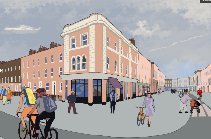
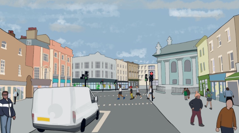
There’s much that appears promising. Nelson Road and Greenwich Church Street – to the south and west of the market – will become two-way traffic whilst College Approach and part of King William Walk would be pedestrianised with a segregated cycle lane.
The current bus stand will be part of the pedestrianised area and I’m unsure where buses will go.
There’s a few other details that stick out such as “today the vast majority of people use public transport to access Greenwich via the DLR, buses and river services”.
No mention of rail or Southeastern services in that paragraph and they are the fastest ways to reach the town from central London. The walk from the station to the town centre also has narrow and crowded pavements. Will they also be improved?
Silvertown
The new tunnel planned at Greenwich Peninsula across the Thames will have a major impact for miles around. Blackwall Tunnel will be tolled and that will inevitably lead to greater traffic heading through Greenwich town centre to reach Rotherhithe Tunnel which will remain free to use.
So what’s the impact on the town centre? The consultation states “by introducing a 20 mph speed limit and reducing the number of traffic lanes from four to two, less vehicles will be able to travel through the town centre and speeds through this area should be much slower”.
This would point to far more congestion and tailbacks on approaches to the town centre with traffic trying to avoid tolls and using less available road space. This has the potential to increase congestion in east Greenwich and Deptford. It could also slow buses which are already seeing a reduction in usage due to ever slower speeds.
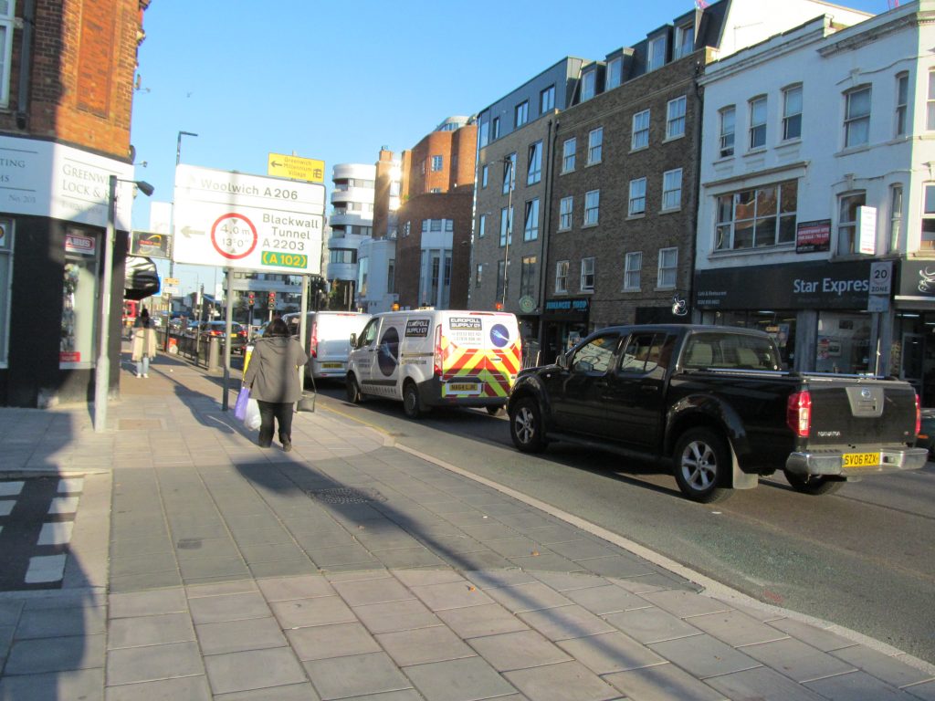
They sort of address this by stating they’d encourage more people to walk – but much traffic is not local. And when it comes to local journeys the quality of streets across east Greenwich is dire even after very limited low emission zone schemes. It’d take far more extensive scheme to tempt more people away from cars, and that Section 106 and CIL money would need to be used.
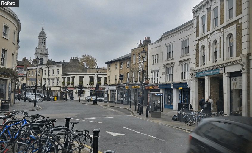
External funds
As a long term advocate of greater investment in streets and public space there’s much to welcome in these plans but it’s important to note that TfL are funding the scheme and not Greenwich Council through Section 106 and Community Infrastructure Levy income. They still seem extremely unwilling to use that source of funding to improve towns, streets and green spaces.
Only using TfL or external funding would be fine if sufficient, but TfL money can only do so much work in limited areas and a failure to supplement using S106 and CIL results in many areas ignored for years.
Previous scheme
This plan follows an abandoned scheme from 2010/11 to create a bigger gyratory than currently exists – at a time when TfL were pushing for removal across London. When it was cancelled due to the dated design money was due to be allocated to other areas – but was it ever actually spent?
They included:
- £274,000 in Greenwich on the A206 / Trafalgar Road, SE10 ( from Lassell St to Armitage Rd incl. Blackwall Lane Junction) This is the stretch by the old hospital, and where the ‘Heart of East Greenwich’ site is, and the big junction there.
- £100,000 at the Woolwich Road/Blackwall tunnel approach roundabout
- £75,000 in 2011/12 and £300,000 over the following two years on ‘Evaluation, initial design and implementation of bus priority schemes which would have been done as part of Greenwich Waterfront Transit.
What ever happened to those schemes?
Good scheme but many questions
It’s extremely welcome to see Greenwich Council again using an online platform for people to respond with ideas. Similar happened in east Greenwich .
Lewisham Council did the same borough-wide, though when the Conservatives recently suggested doing similar in Greenwich the Labour group rejected the idea – preferring to focus only on limited areas.
Whist this scheme shows a lot of early promise some very big questions are unanswered. To be fair, it does state that and it’ll be interesting to see what the solutions are. The huge impact of Silvertown Tunnel hangs over it all.
You can see the webpage here.
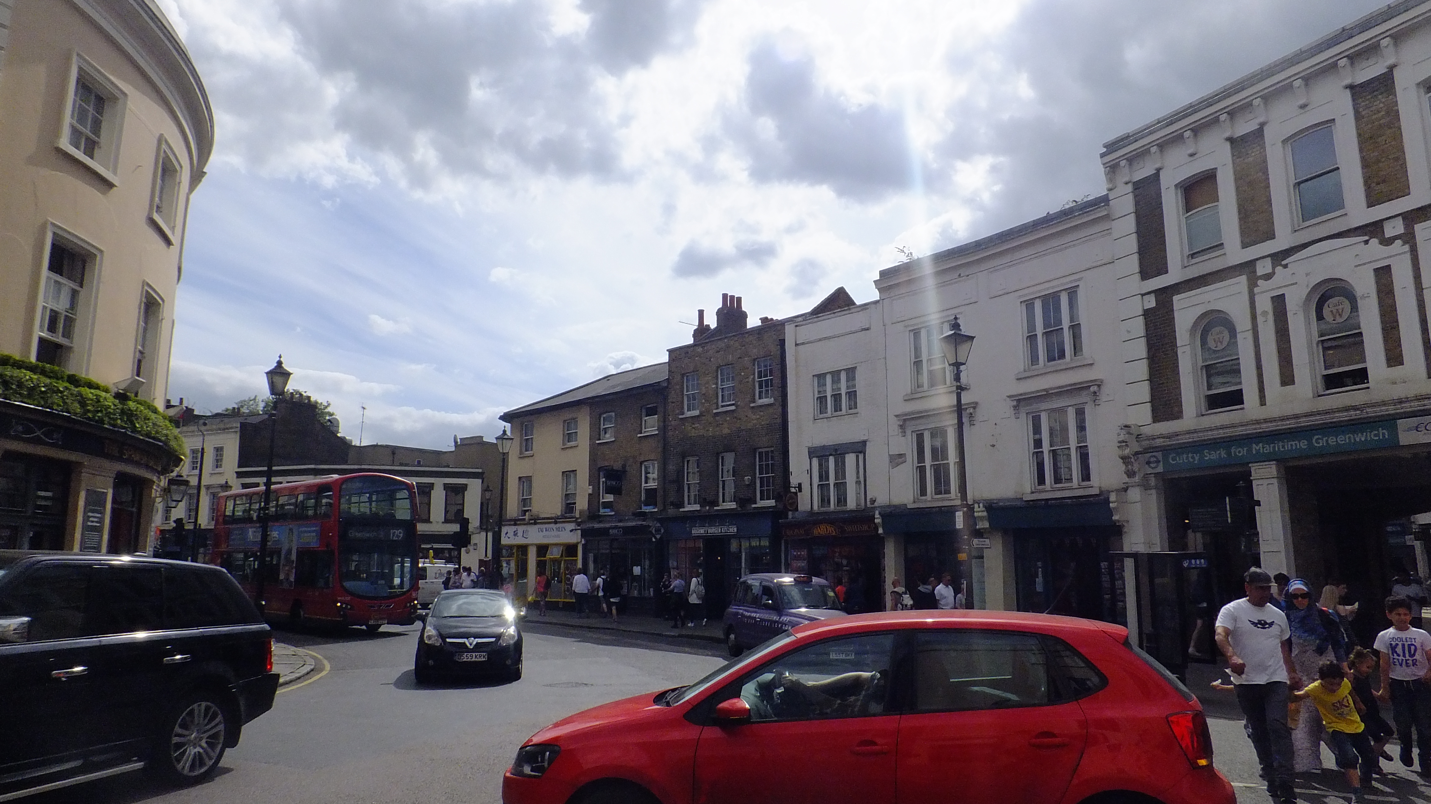
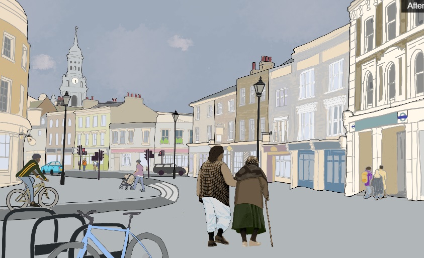

I have mixed feelings about this proposal. Whilst pedestrianisation is welcome it may mean a reduced run for the 286 rather than the usual turnaround at the town centre. Also the dedicated cycle lane concerns me: cycling is not as common as the Council would like and is still somewhat dangerous for the casual user. How it will be segregated is also a problem given the Council’s fetish for redundant street furniture
The 286 could be extended to Greenwich Station and turn around there on the station forecourt.
That has been known to be used by rail replacement buses.
Aren’t there often tourist coaches blocking the forecourt?
Problem there is that the station entrance is not big enough for more than one or two buses at one time.
The other solution would be to use the old M2 route bus stand which is situated outside the North Pole bar. Have the buses either do a loop at Deptford Bridge or even have them turn right at the North Pole traffic lights which will lead to Creek Road taking the bus back to the town centre that way
Re cycling: That path will have to be very well segregated indeed. If it’s just marked with a colour difference and some signage the masses of tourists won’t notice the difference and will just walk over any old way.
Cycling will not become common when it is still perceived as dangerous so it is important to make safe cycle features. And they should be in places that are currently dangerous and where people will actually want (or need) to travel on a bike.
A game of frogger between cyclists and pedestrians in a tourist area doesn’t quite cut it.
Indeed. The recently upgraded Stratford Town Centre has been rather nicely remodelled with two-way traffic and a dedicated cycle lane. The public unfortunately treat the latter as pavement (outside the shopping centre is a prime example) and even on the quieter stretches many cyclists still prefer to use the roads. As you quite correctly point out, tourists may be unaware given the lack of obvious take-up
For the Millennium Celebrations at the Dome during the year 2000. The Greenwich Town Centre to North Greenwich Station Millennium Dome bus service route M2 used to stand by Greenwich Station on Greenwich High Road and used creek Road Norman Road to reach the Station using single decker buses. It is possible Route 286 could use the same routing has the route uses single deckers. The route would then start at Greenwich Station on journeys towards Queen Mary’s Hospital. We cannot see another bus route cut from using Greenwich Town Centre.
I am glad I am not the only person who remembers route M2 😂
really hope the pedestrianisation goes through so we should be gentle with the consultation.
That said the cycle lane should really not beon king williams, we all know how that would go..
Personally i think traffic could be even improved if there is a continuous (but slow) throughput. this means choices must be made. If for example you would make greenwich high road one-way, deptford direction only, there would be no need to traffic lights at all.
Too many cyclists breaking rules other motorists adhere to so I am against it. It will cause more traffic elsewhere and will not lead to a decrease in traffic. The new IKEA which many locals objected to but will be predominantly used by vehicles will put paid to that.