Stretch of Greenwich to Deptford cycle highway nears completion
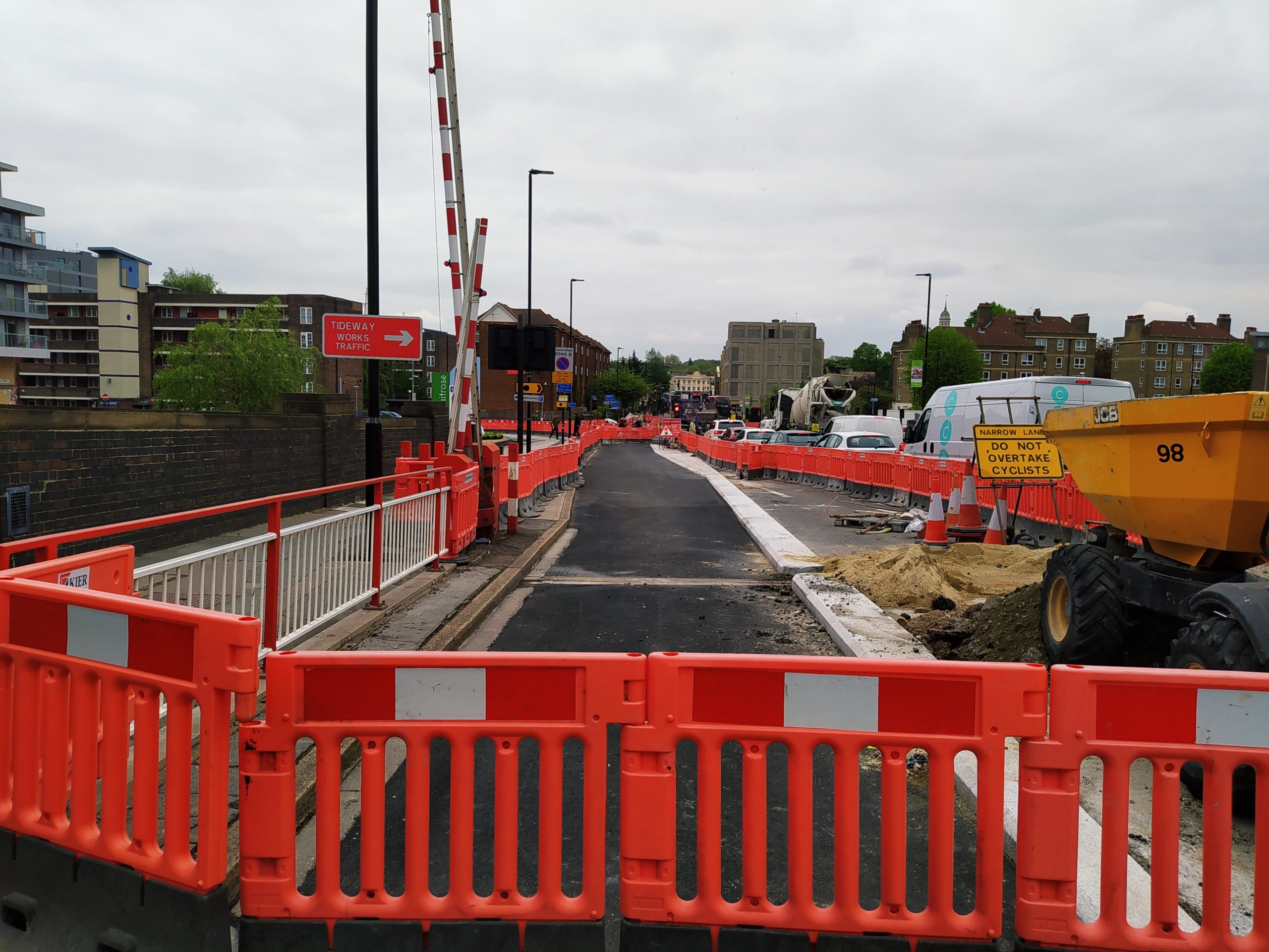
This week saw time to pop over the Greenwich and take a look at how a new stretch of Cycle Highway 4 between Greenwich and Deptford is shaping up.
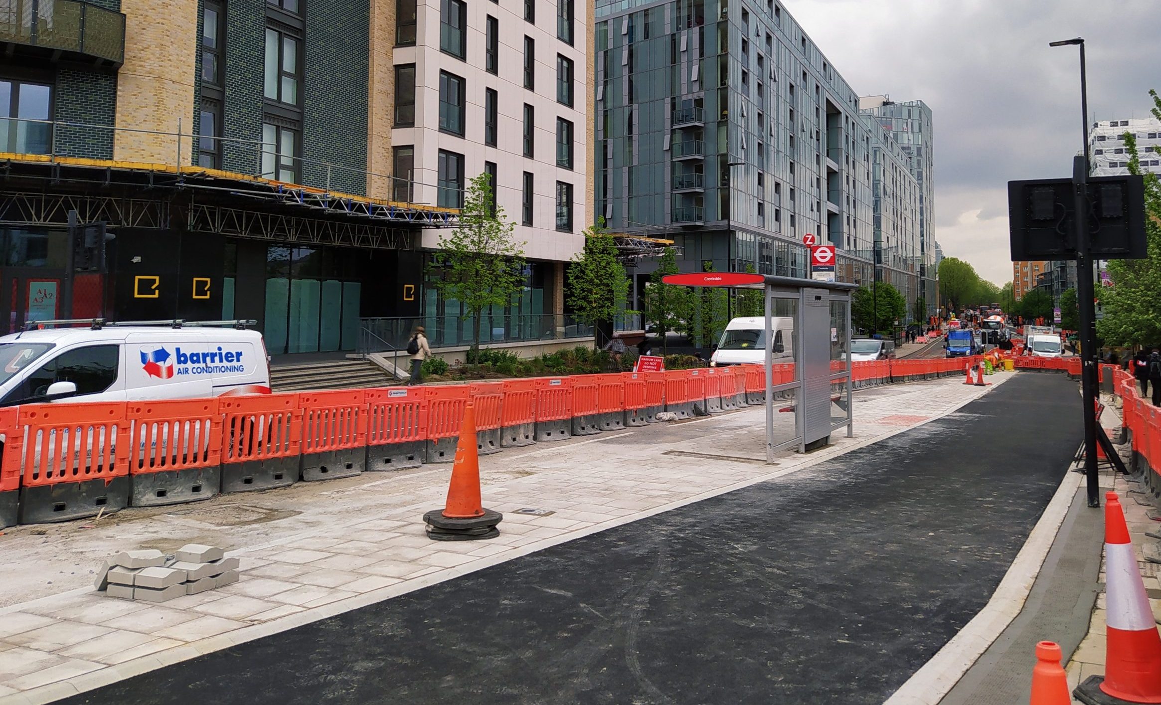
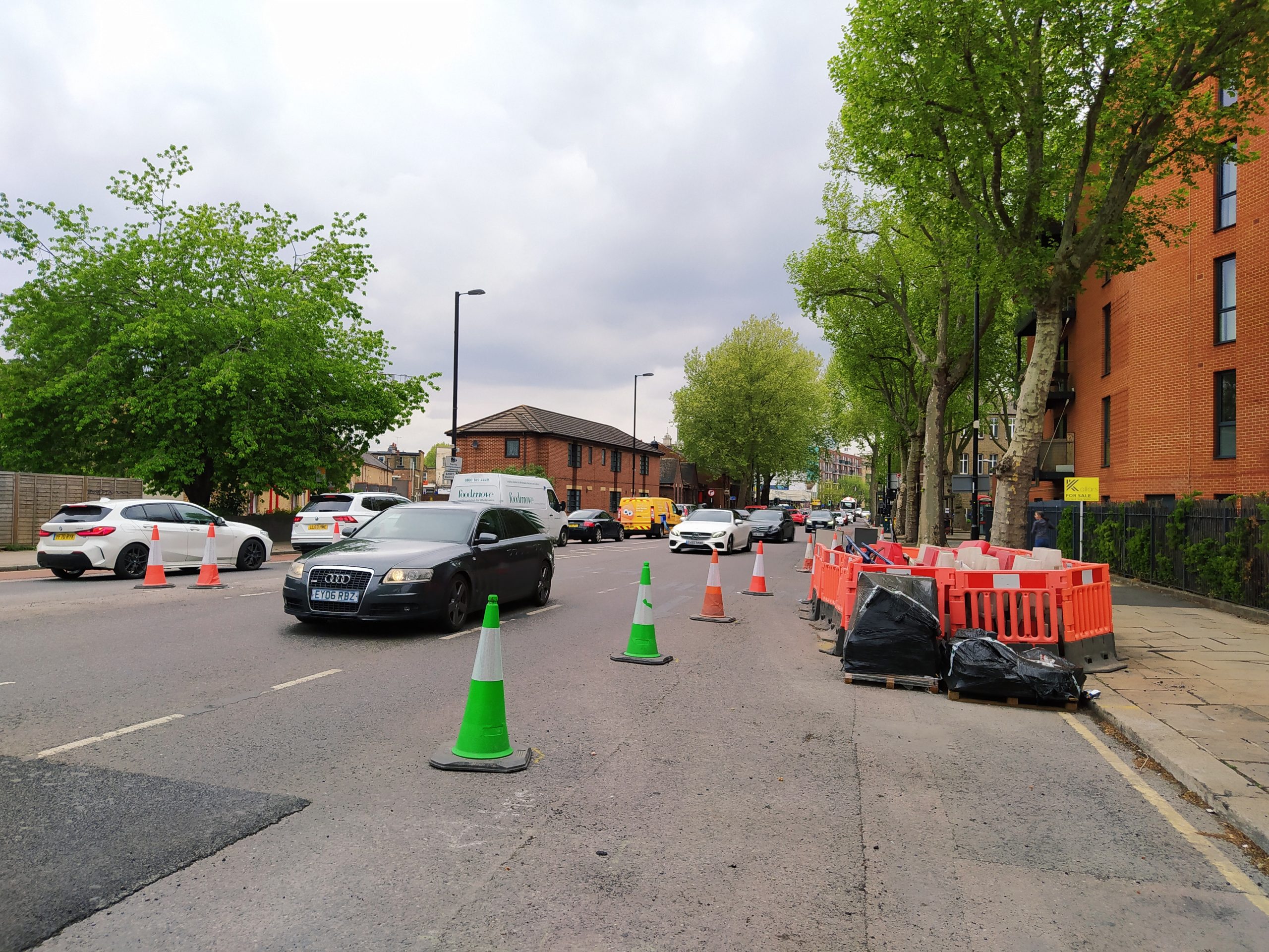
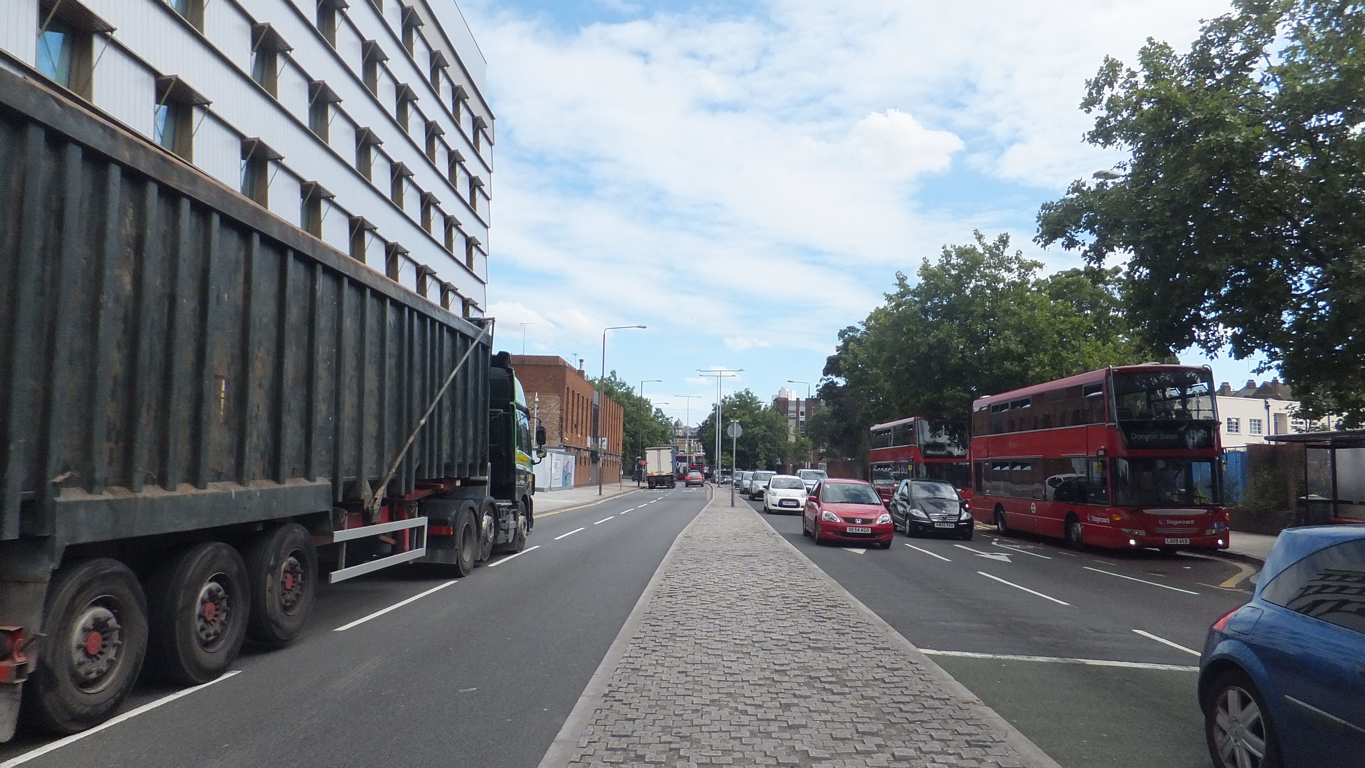
As images show, much work appears to be almost complete on the new lane between a junction near Waitrose in Greenwich and Deptford Church Street.

Work begun back in November 2019 on what was known as Cycle Superhighway 4, though it’s now lost it’s super-ness and is rebranded as plain old Cycle Highway 4, running from Tower Bridge to the very edge of Greenwich.

The route was originally planned run to Woolwich ferry on segregated lanes through Charlton and Woolwich. That was cut back, though over the past year a temporary lane has been installed between Greenwich and Charlton. The stretch between east Greenwich and Charlton was covered here and opened last month.
Major revisions are being undertaken at the junction leading to New Capital Quay and Waitrose. Even at the time it was rebuilt around 2014 the design was decades out of date. Greenwich Council were told, it was ignored and now it’s being ripped out.

When TfL were consulting about this new stretch Greenwich were still requesting outdated design such as retaining large stretches of guardrail. Lewisham Council asked for a feeder lane on Deptford Church Street. TfL agreed to Lewisham’s request.

Bus lanes
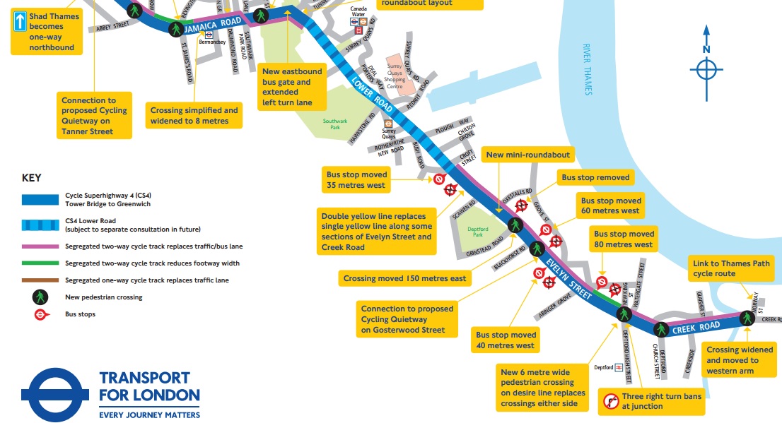
One of the most controversial elements is the removal of an eastbound bus lane on Creek Road – which TfL state will delay buses.
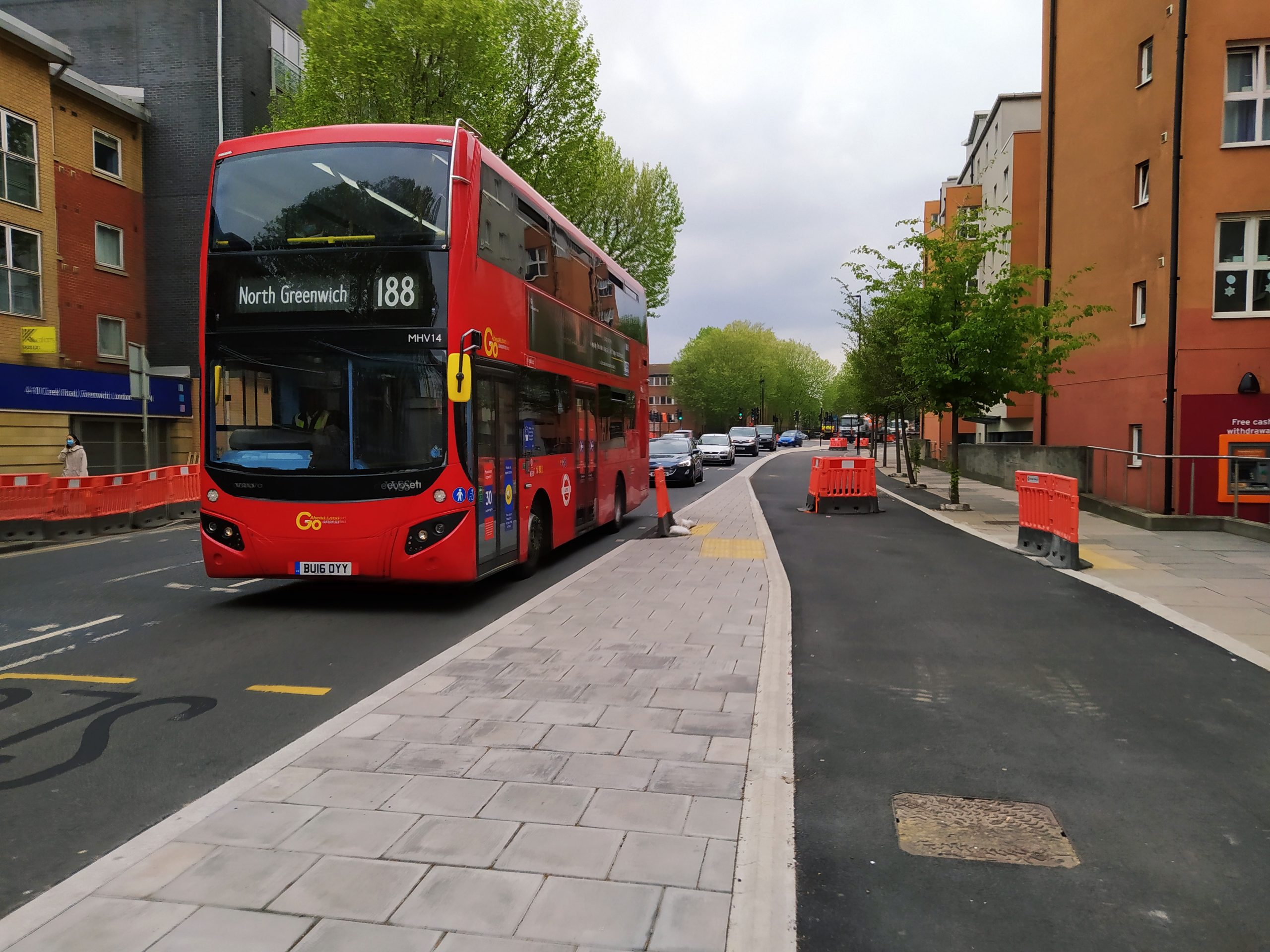
TfL noted in a reply to consultation comments that: “a journey time increase of up to 6 minutes is expected eastbound between Surrey Quays Road and Creek Road”.
That’s a fair few people held up for longer with the bus lane removal. This contentious issue will resurface again and again. How many bus lanes should be removed for safer cycling?
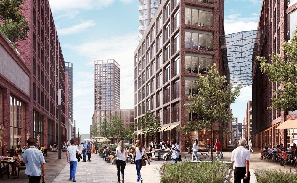
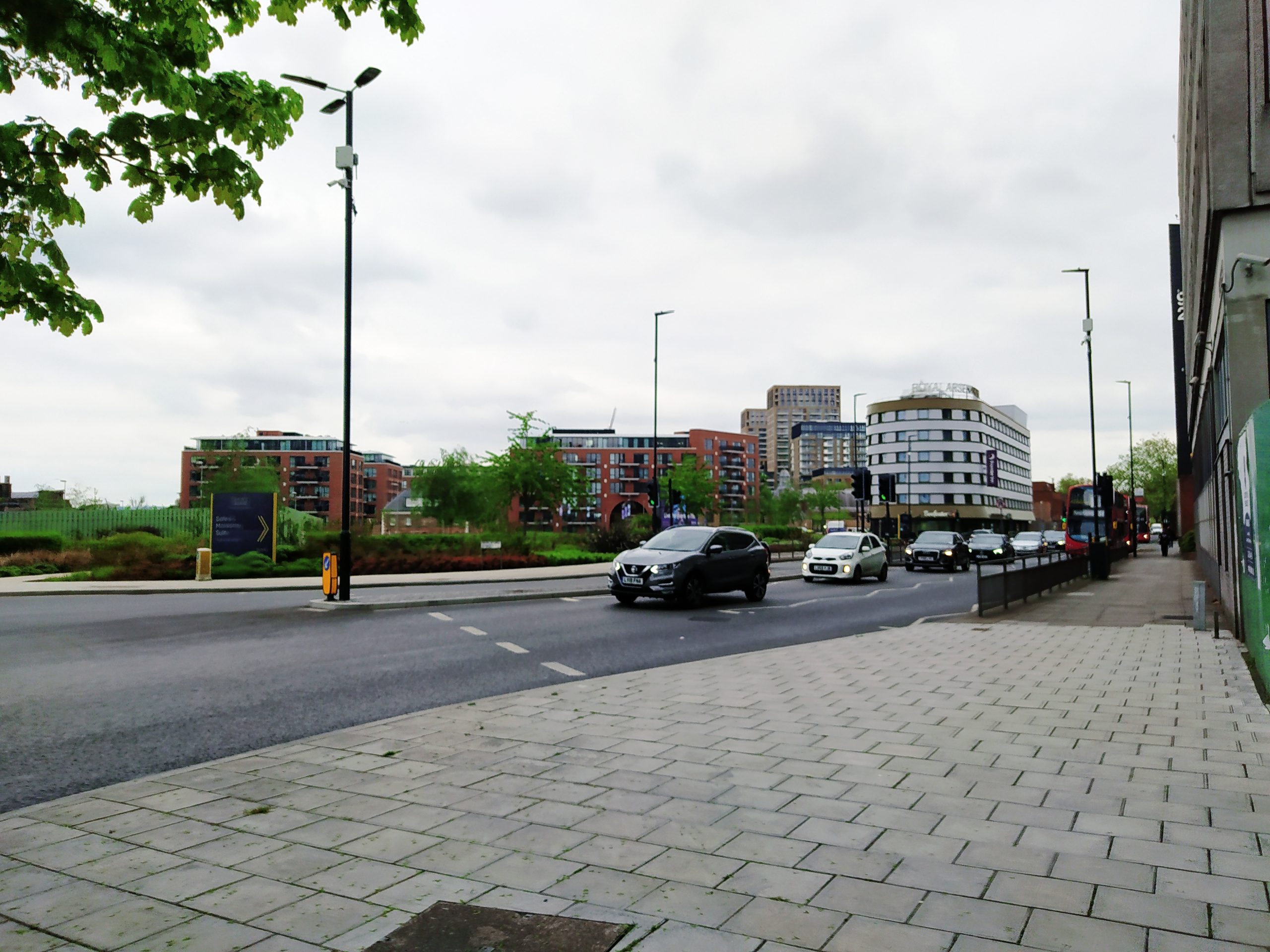
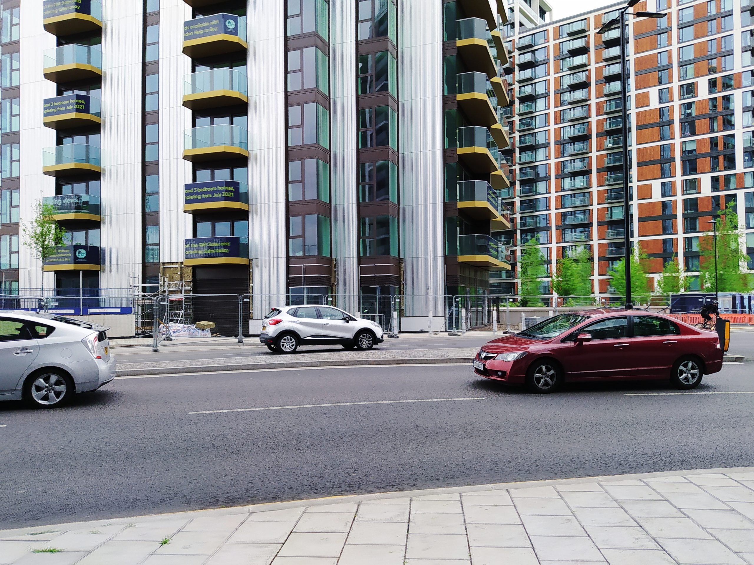
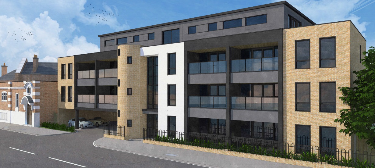
The new cycle lane passes many new-build homes along here, of which the majority are car free. One such block is now rising, with others on the way. They’ll be plenty of potential users of the new lane.
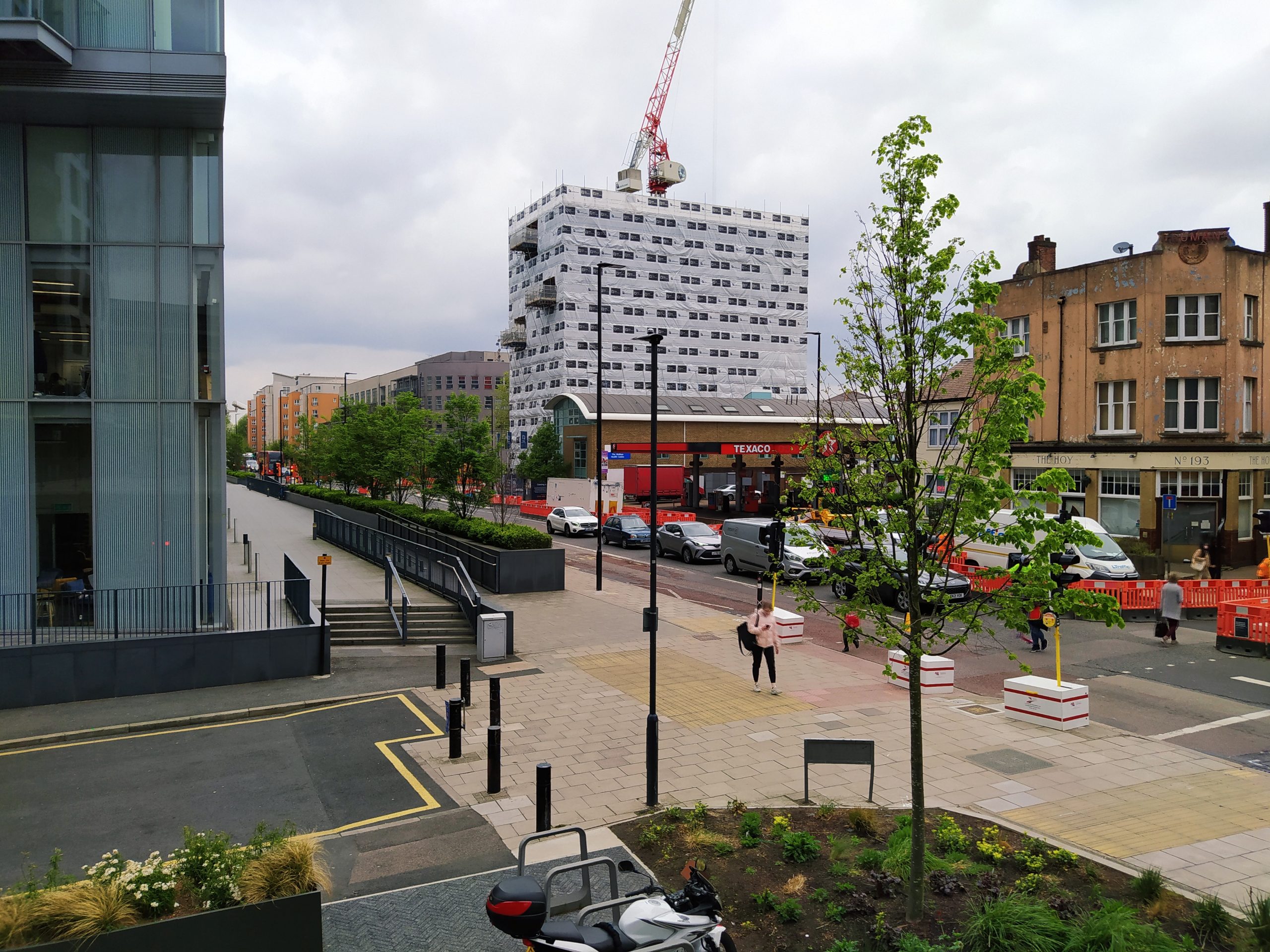
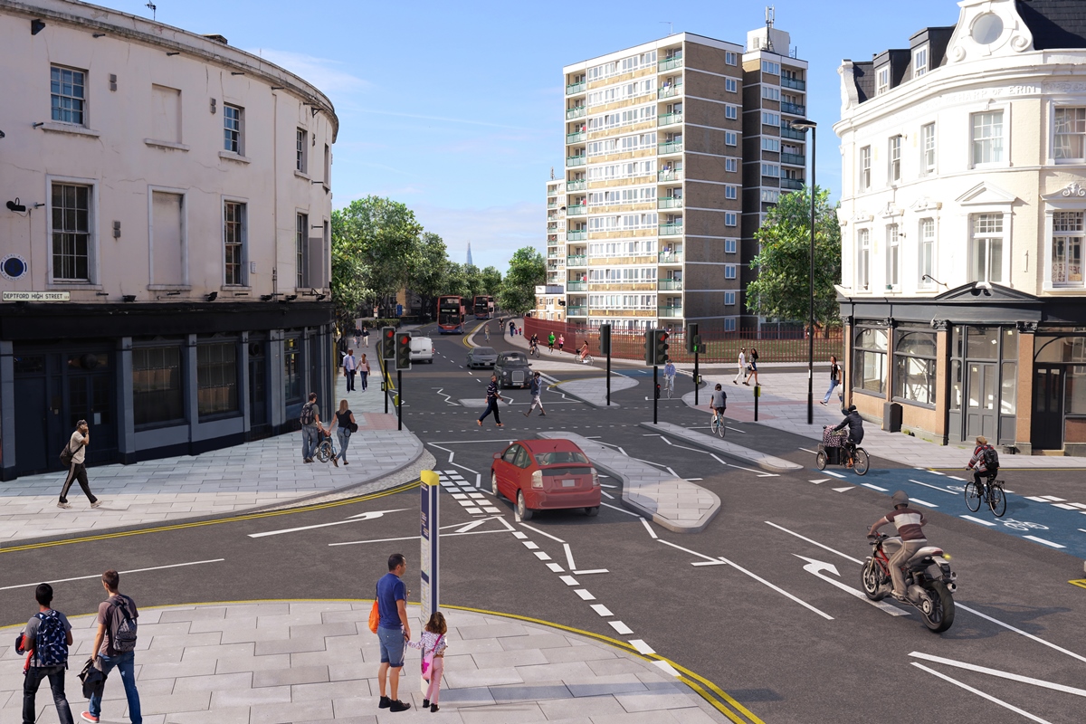
To the west, work currently ends just past Deptford Church Street:
Eventually it will head further west past Deptford High Street and relatively close to 3,500 homes at Convoys Wharf:
Then beyond that there’s the major issue of rebuilding a one-way system near Rotherhithe on the Lower Road. Consultation has been underway but work appears some way off.
Other major developments along this stretch are Deptford Landings (1,132 homes) and the Surrey Quays shopping centre rebuild.
However no final design is yet evident for much of this stretch, and this reveals a flaw with those original plans for a major new cycle lane for south east London, as cycling provision is still fragmented and in many places will remain so even when CS4 is complete.
When the lane reaches Greenwich it will now promptly end within metres, with cyclists then expected to divert to the river path. A few metres beyond and cyclists meet Cutty Sark Gardens, and then the problem of the Old Naval College.

Plans were announced for removing the Greenwich town centre one-way system and creating a cycle lane in the town centre but it’s all gone very quiet.
There is now a lane to Charlton from east Greenwich, though eastwards from Charlton cyclists must share a bus lane. There’s no apparent funds for the stretch to Woolwich. Cyclists then encounter more problems recently covered on this site.

Numerous new builds are being built in the middle of Woolwich yet the fastest link between segregated lanes to the west of Woolwich (eventually) and Plumstead (already existing) will see no segregated lane despite money being available and recently spent altering roads.
It’s a key missing gap with no plan to plug it.
This stop-start nature of segregated provision will impact upon usage. There’s still many key questions unanswered. Is there funding for Greenwich town centre and the Charlton to Woolwich stretch? What happens past Woolwich ferry to Plumstead Road?
It appears cyclists will be expected go on detours along the river’s edge rather than directly along Woolwich High Street and then Beresford Street to meet recently installed segregated cycle lanes on Plumstead Road. Not such a pain if on a leisure trip perhaps, but if modal change for routine journeys such as commuting or shopping is the aim – and it is – these slower routes aren’t ideal given new builds have been built alongside, money allocated from developers for street changes. They are happening, yet with no safe cycling provision.
For those living in Greenwich borough a lot of questions remain due to the curtailment of original plans – and a lack of focus in plugging gaps in provision. For those west of Greenwich a fully segregated and direct route to central London awaits when future stages complete. The Greenwich to Deptford stretch offers the first taste of more miles to come.
Running a site alone takes time and a fair bit of money. Adverts are far from enough to cover it and my living costs as a private renter.
You can support me including via Paypal here Another option is via Patreon by clicking here You can also buy me a beer/coffee at Ko-fi here There's also a Facebook page for the site here Many thanks

“if modal change for routine journeys such as commuting or shopping is the aim – and it is – these slower routes aren’t ideal” – hit the nail on the head, and it’s exactly why LTNs were never going to work.
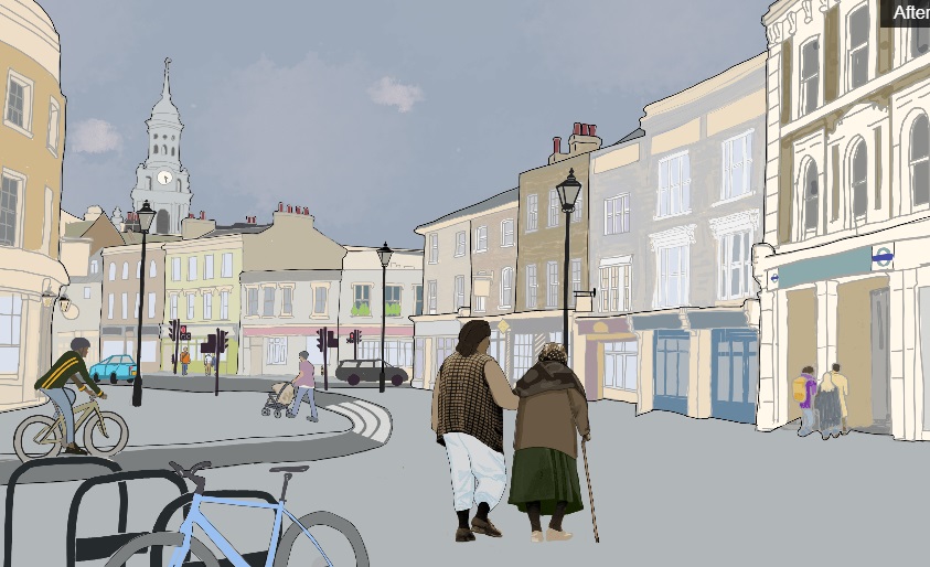
I did get a chuckle at the Deptford high street render showing just one prius and a dozen pedestrians. I imagine the artist was looking out onto a quaint village backroad when they were tasked with this scene.
The traffic delays (for buses at least) between Deptford and East Greenwich are said to be above pre-pandemic levels, with some arguing traffic isn’t yet back to full strength and others arguing that it’s just the result of public transport restrictions and people wary of sitting in a box with coughing strangers. Time will tell.
Buses with up to 60 passengers (currently) make much more efficient use of road space than individuals on bikes. If you factor in the number of people who can (and do) get the bus but can’t cycle, it does make you wonder what’s going on in the minds of traffic planners. Even more so when, as you say, there are so many segments in the “route” that are missing.
Not sure why it was needed at Creek Road- the Thames Path is better for cycling and has a pedestrian/cycle bridge. This seems a bit pointless, they could have sorted out the backroads and made it rejoin Evelyn Street. Similar with the works in Charlton, there’s no connection to the Thames Path even though it’s less polluted and more suitable for cycling.
I’m a keen cyclist and support cycling lane, however I really miss the point of replacing bus lanes by cycling lanes.
It only start to make sense of road traffic is reduced to avoid slowing down buses, which I don’t see how this will be achieved. Pre pandemic, bus time from cutty sark to the O2 was already awful with many bus lanes available, (which incidentally led me from giving up taking the bus) and I don’t see how this is going to help the global situation.
A bus lane is generally a reasonably safe place for a cyclist despite the danger of overtaking stopping buses but there might be some simple work around this; in addition to protecting the access to bus lanes to authorised vehicles (physical barriers, camera monitoring, etc), surely that would be a better option for the population than cutting bus lanes?
If space must be taken somewhere to fit new cycle lane that must be at the expense of road traffic not public transport.
Both cycling and buses are needed to alleviate congestion. What is so frustrating at many points is they are lined with new builds for hundreds of metres at a time. Space for cycle lanes and bus lanes could have both been accommodated if new builds weren’t built so close to the very edge of their respective plots.
For example, the Deptford building lining Creek Road wastes space by having half the paving elevated a few metres and half beside the road. not only does this impact footfall for shops (many have never been occupied) but restricts space for cycle lanes which are needed.
London is just never going to work with population growth and increased private vehicle use.
The Thames path is slow and not a solution. OK for a meander. Not always too good for a quick cycle into work. I lived in Deptford for some time. I never bothered with the Thames Path. I would with this new cycle way to reach work. Rather than a packed train I’d save money and be healthier to boot. The new lane passes a vast number of new builds both already built and coming e.g. Sun Wharf at Deptford Creek and the tower on the Greenwich side approved last year. The Thames path would be hassle to reach for thousands of new residents at various new builds which is why supplementary routes along major routes are being built right on the doorstep for new residents (and of course existing locals already nearby).
They seriously need to accelerate planning beyond Greenwich Town Centre, and to the west of the route more links need to be created with London Bridge in order to maximise the usage of the lane, but for now it connects to C6 to Blackfriars and Elephant and Castle via Q14 at Tanner Street. They had a consultation for the Ferry – Charlton Station section, but have not published any updates or consulation results. https://consultations.tfl.gov.uk/cycling/greenwich-to-woolwich/ Not sure what’s going on there
Those suggesting backstreet routes and the Thames Path clearly do not cycle for transport, nor have seriously considered it. It’s unsuitably narrow, poorly surfaced, and has many dangerous blind corners in many locations which does not bode well for cyclist/pedestrian or social safety. And trying to follow it into Central London is impossible as it ends in places with no clear signposted diversion to follow. C4 connects to homes, businesses, stations, schools, workplaces, many other existing routes and a number of quiet/filtered streets that will enable people to join the route in the first place, and will give existing people who use bikes to get around a safer and more direct route.
Eventually as more people are able to switch away from cars, there will be reduced congestion along the A206 and A200, meaning faster journeys for bus passengers in addition to the new bus lanes along the route, and those who still need to use private vehicles for work or personal use will also have faster journeys with less cars on the road. All of this takes time however, but it’s about time that we started this process. C4 should provide an excellent template as the first high quality cycle route that reaches outer London, the new cycle routes RBG are putting in to connect to it should help further.
Hilarious idea that it is cyclists holding up buses rather than the sad muppets sitting in cars for no good reason. One person per car (and what a lot of road space the hideous bulgy SUVs and their copycats take up) is no longer an option. Most of the muppets are driving less than 3 miles and should be using some other form of transport – preferably their own two legs – leaving vehicles to the very few people who really need to use this archaic form of transport.
@Mike, there is only so much road space available and trying to accommodate everything means that ‘somethings gotta give’.
I am with John I think if new buildings were not not built so close to the pavements this would allow for cycle lanes to built with out affecting other road users too much.
Bus lanes are important to keep bus services moving and to help with the relaibilty of bus services. Which otherwise are delayed and face curtailment of the service where the bus is forced to terminate early due to late running which means passengers than have to wait for another bus to continue their journeys.
Coming through East Greenwich is a nightmare at peak times with both buses delayed and cars tailing back as have to wait behind buses at bus stops with no room to pass the bus. This in affect also delays emergency vehicles which again is far from ideal.
Absolutely agree, The Thames path is..NOT good for commuting – unless you are happy to double journey time every day.
I used to cycle DA17 Belvedere to E14 Limehouse – taking the river path instead of sticking to the most direct road route added a lot of distance, and a disproportionate amount of time due to all the factors that slow you down. Including glass everywhere that is rarely cleaned up, gates, slack-jawed pedestrians oblivious to marked cycle lanes or in fact anything other than whatever is being pumped into their brains through their headphones. Oh, and random closures of the path due to huge building projects ongoing for my entire working life, continuing now and apparently increasing! Direct road route 35-40 minutes. Using river path and other cycle ways 1.5 hours or so. Keep up the good work!