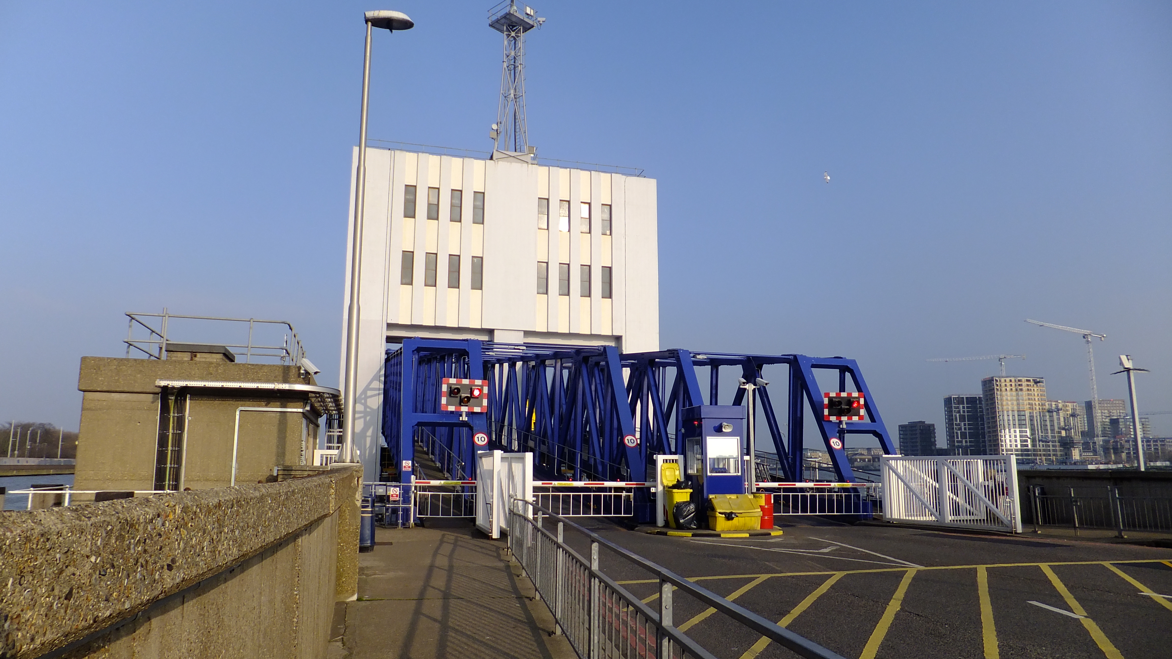
Street layout changes planned by Woolwich Ferry
TfL have launched a consultation into plans to alter the road layout in North Woolwich around the ferry. Now the ferry is to see new boats and the threat of imminent closure has gone, improvements will occur.
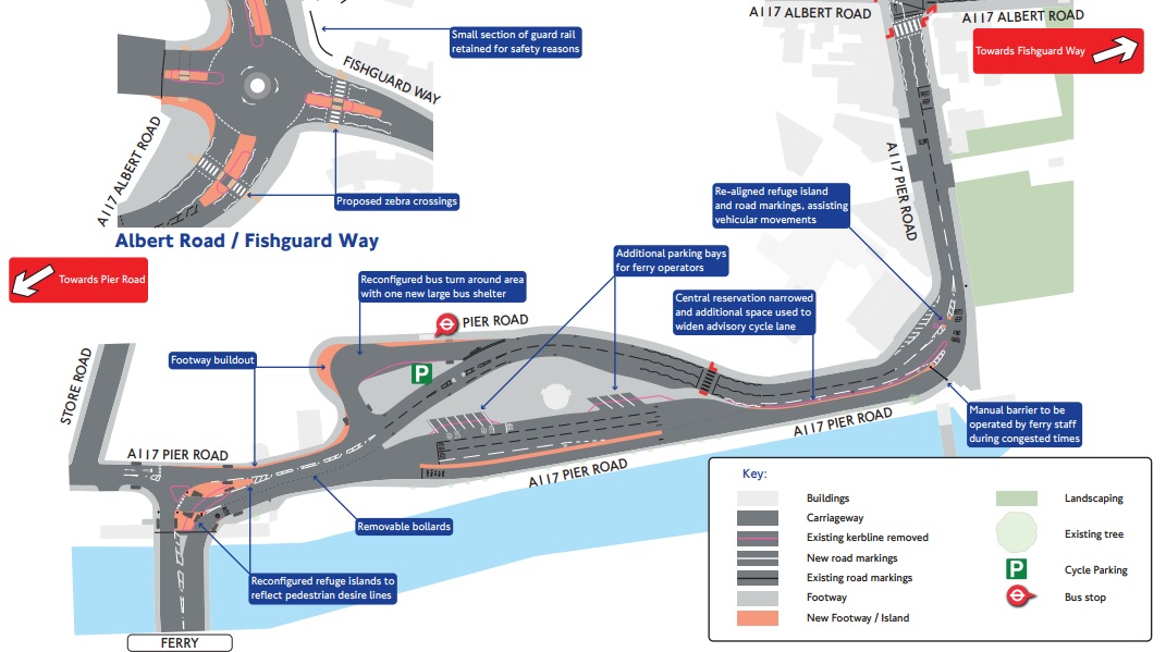
Plans mostly cover Woolwich Manorway and Pier Road. Improvements for pedestrians and cyclists are included including removing street clutter and barriers to pedestrian movement such as guard rails. Staggered crossings which pen in pedestrians and lengthen crossing time will go.
It will be interesting to see if similar is planned south of the Thames. Greenwich Council’s Highways Department appear to love adding pedestrian obstacles and loath removing clutter and barriers to movement so expect them to object to any TfL plans to improve conditions.
It’s for safety some say, though making it crap to get about on foot just leads to more people driving.
There’s many south examples of out-dated street design of the river. A legacy of the 1980s and a symbol of car primacy.
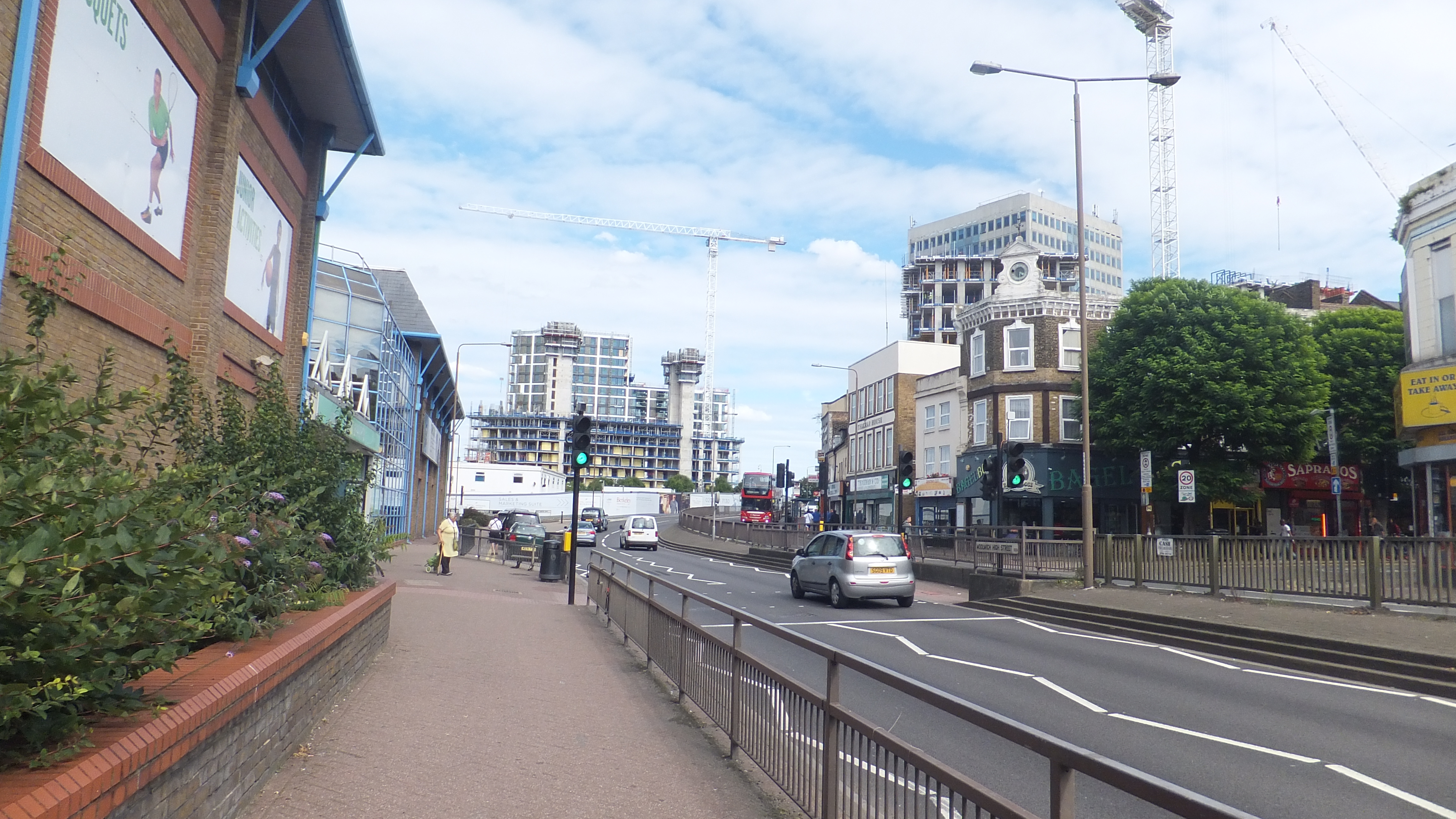
Changes on the street above with road design altered in such a way to naturally slow down traffic would create a far more pedestrian-friendly area.
Cycle lane 1, central reservation 0
Another good initiative under TfL plans around the North Woolwich ferry approach is narrowing the central reservation to widen cycle lanes.
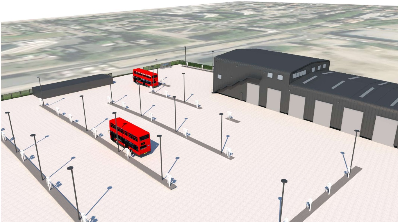
The bus turning area will also be slightly altered with a new bus stand installed:
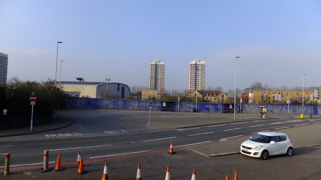
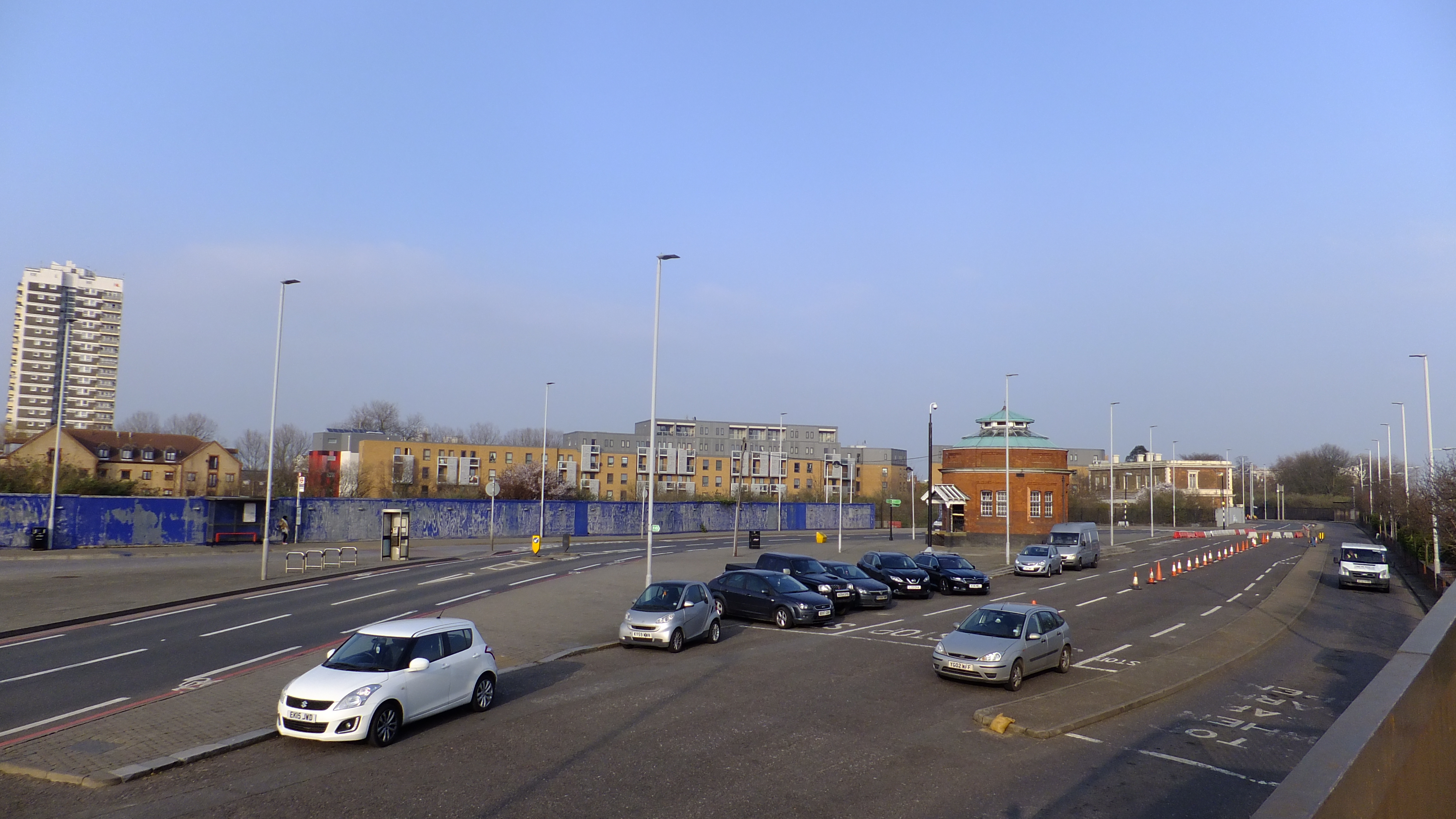
I took a walk in March around the area from King George V DLR station to the Woolwich Ferry which was covered here.
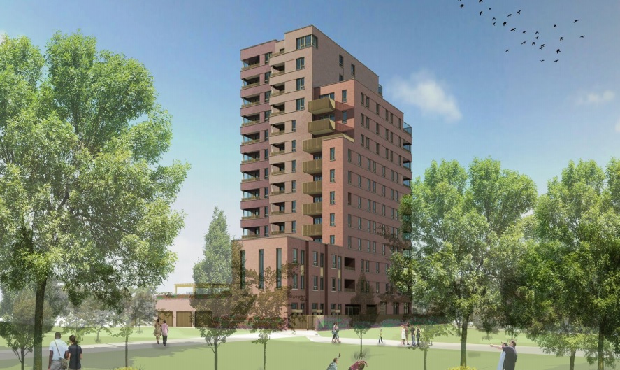
Since I wrote about the area, a large housing development was recently proposed on land nearby.
I hope you enjoy it and any help to support it continue would be much appreciated. Donations can be made at Patreon.com/themurkydepths

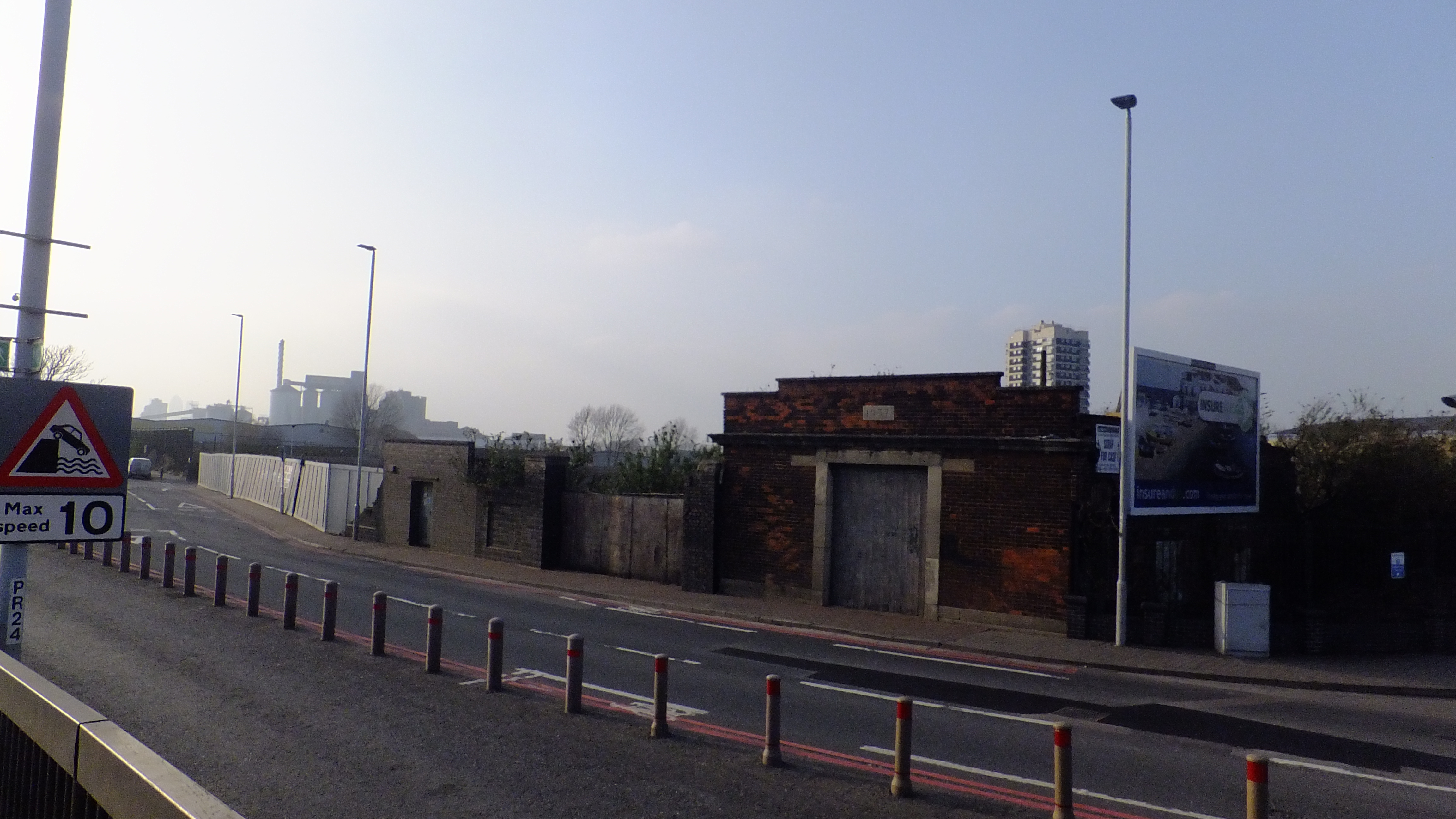

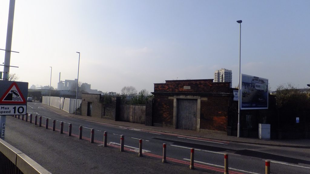
I can see no need for the work North of the river.
However, the Southern approach is a traffic management nightmare. Several times I have seen the roundabout in gridlock with emergency vehicles on a call just giving up – stuck in impenetrable traffic. Buses just sit there too. Think of all that needless pollution.
At the risk of sounding rather controversial, there isn’t much point of trying to make the area around there more pedestrian friendly unless there is something to be there for. The revamped Arsenal has turned in on itself, and there isn’t a lot on the south side of the main road.
There is some argument for keeping those roads essentially purely for vehicular traffic and keep them moving smoothly (hence minimum pollution), segregate cycles (take into account when redeveloping the Waterfront Centre), and take pedestrians rapidly to Powis St and use that as a pedestrianized E/W route, with the shops benefitting from the extra footfall.
Because just putting in more pedestrian priority but leaving the streets as now is pointless.
The stretch pictured by Waterfront would be better given a popular leisure centre is one side and a row of shops the other. It could be seen yo be piecemeal doing something now, though all too often we wait for changes alongside new development (in this case waterfront demo and rebuild) and it doesn’t happen, even though plans exist.