Woolwich town centre development plans go in
Berkeley Homes have submitted plans for 663 new homes in Woolwich close to the Elizabeth line station.
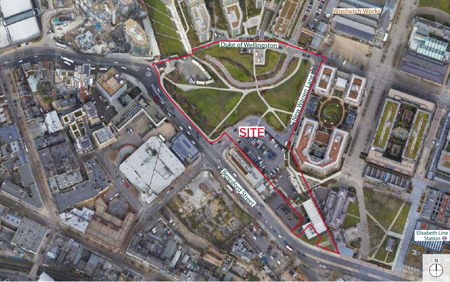
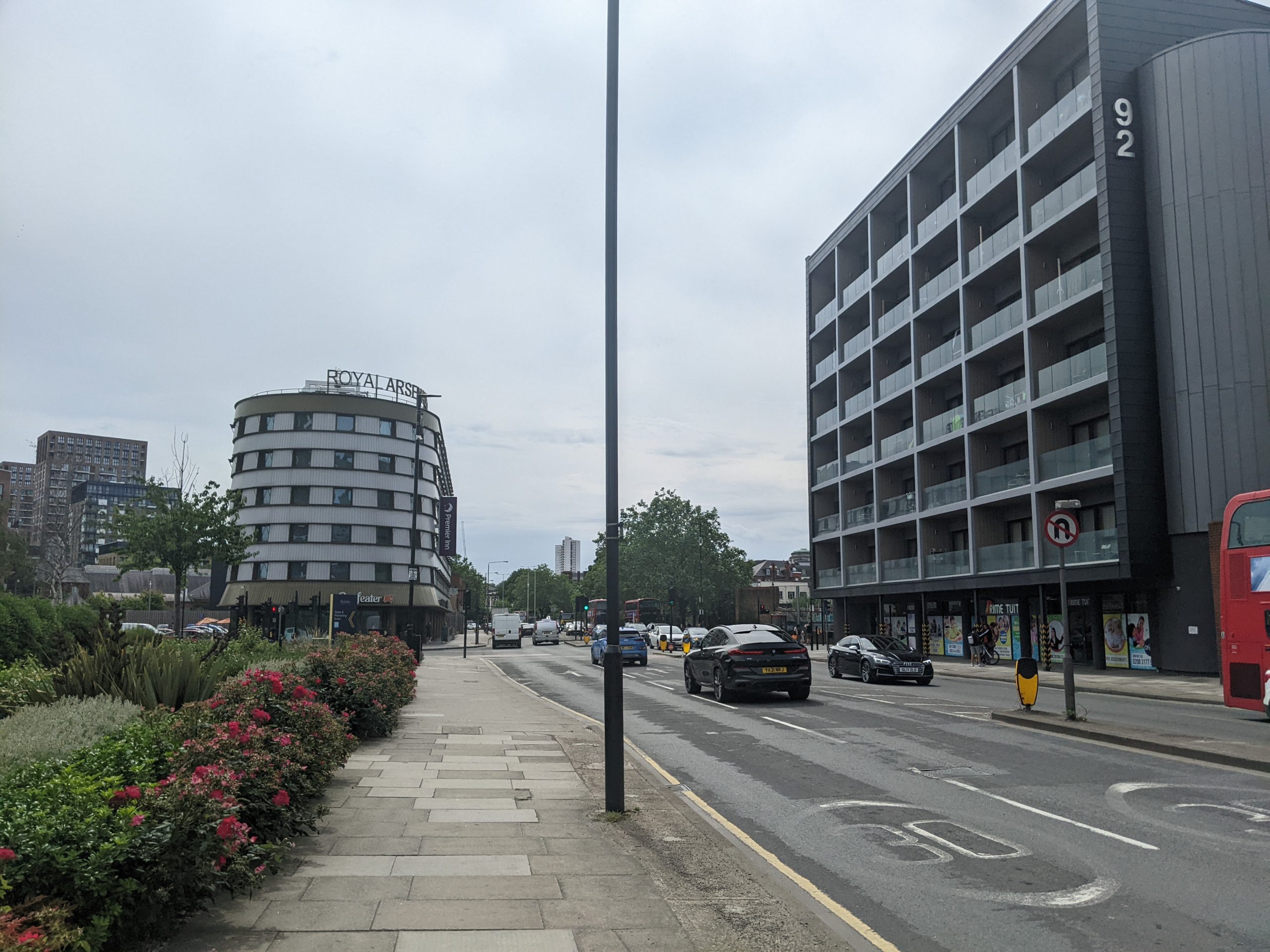
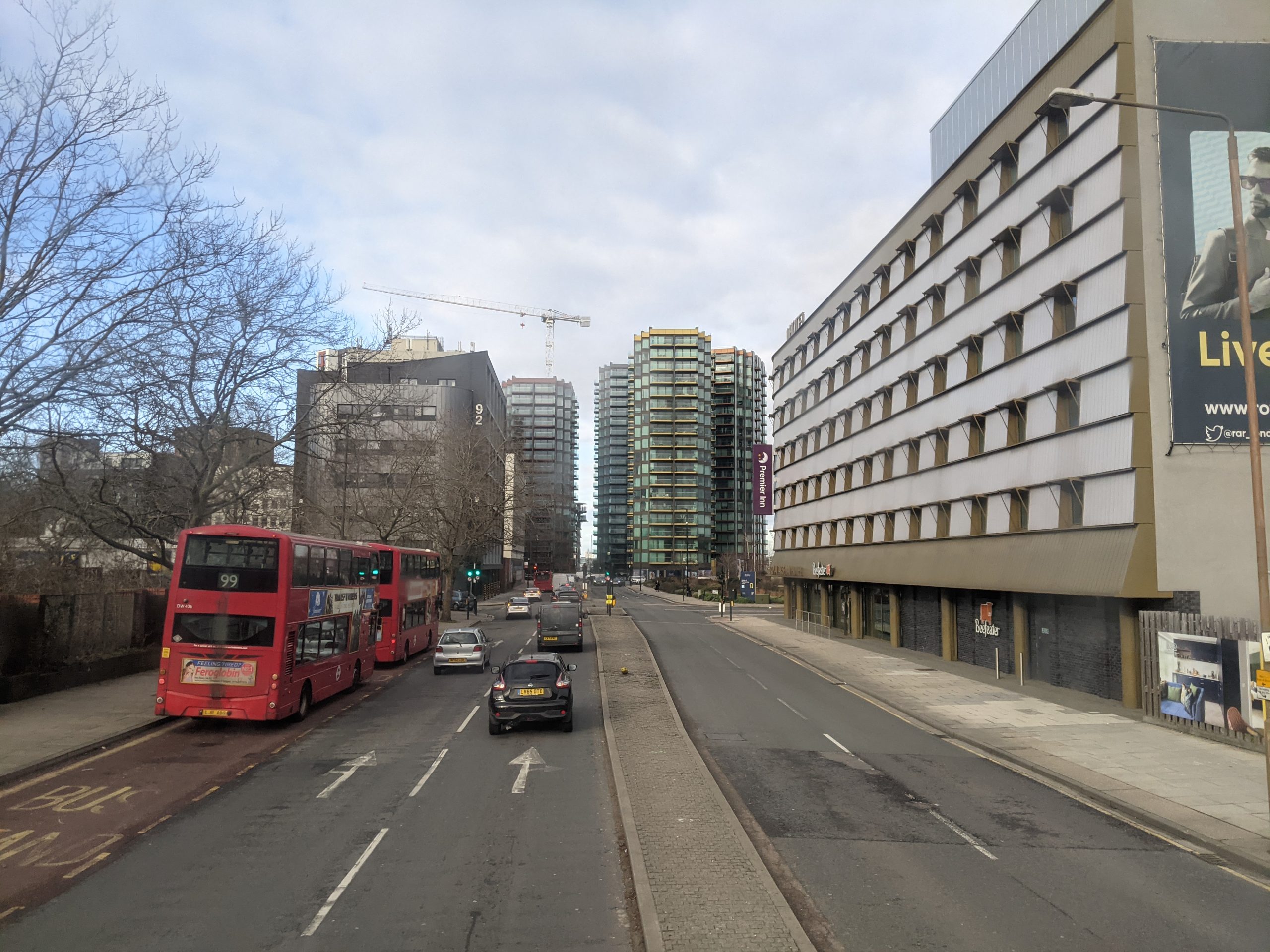
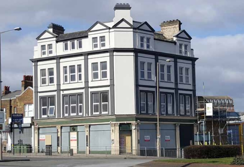
The development – named Ropeyards by Berkeley – sits partly alongside Beresford Street close to Premier Inn and a student block at the former Catholic Club.
The Catholic Club is now seeing demolition, so what will its new neighbour look like?
Well, there’s not actually that many decent images within the Design and Access Statement. That always raises a certain curiosity.
There’s a whopping 212 documents in this application which sees detailed plans following previously agreed outline plans from a decade ago. I have to say that even me, who isn’t averse to a typo or two, is impressed with those in the Design and Access Statement. The Elisabeth line? Breseford Street? Next they’ll be saying it’s near Abbeywood.
Development on park
New buildings will sit on Maribor Park, which was always intended to be temporary.
The park is named after a town Greenwich is twinned with in Slovenia.
While some of the park will be built upon, the existing car park behind Premier Inn will become green space as part of a strip leading from the Thames towards Woolwich town centre and Beresford Square.
Plot K lines Beresford Street while Plot D is closer to existing homes.
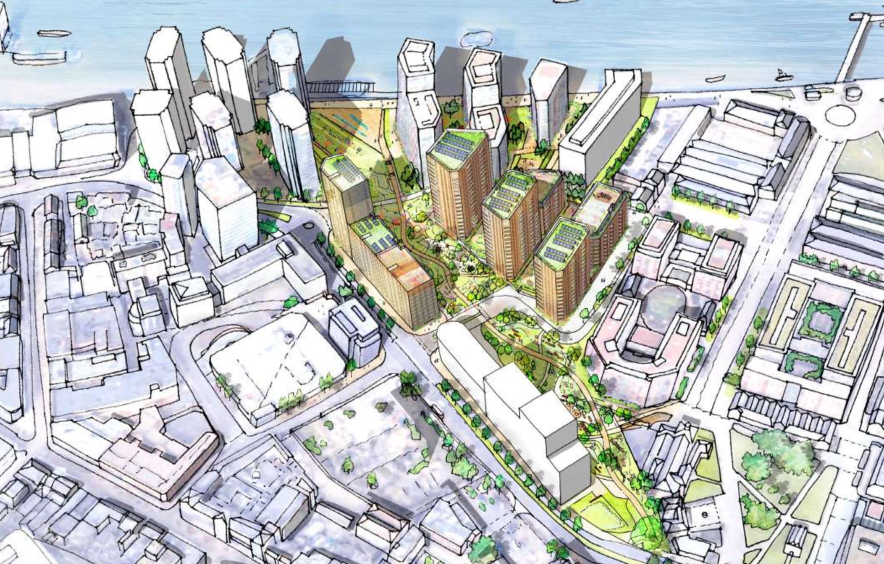
As part of the plan another tall block is proposed near Woolwich High Street.
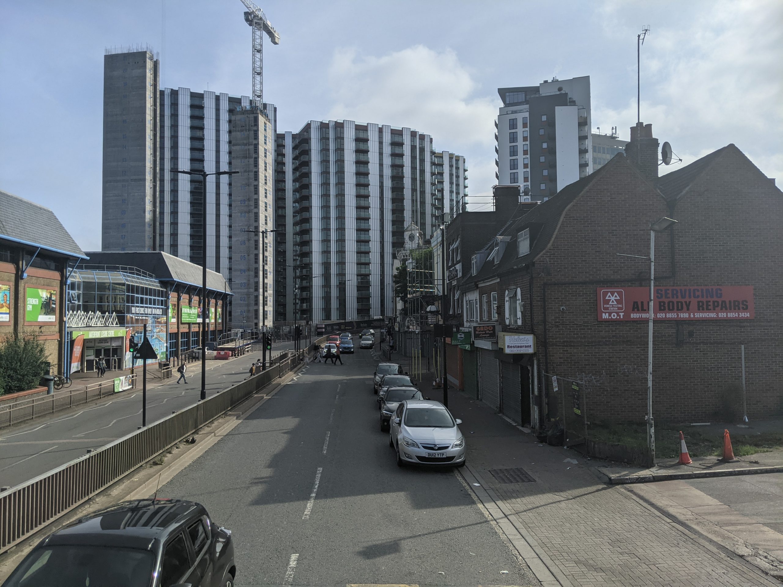
It’s getting awfully cramped around there.
This wouldn’t be so bad if the public realm at street levels wasn’t so utterly dismal. No trees and street clutter out of the 1970s. It’s all round grim.
True to form, Greenwich Council show little interest in improving the situation using income from various developments.
Berkeley propose 120 car parking spaces above and beyond those for blue badge holders. There’s 1272 cycle spaces planned though amusingly the proposed cycle lane through Woolwich doesn’t pass the site – which is an obvious route for it – as neither Greenwich Council nor TfL appear to want to fund street changes.
To save a few quid the idea is to divert cyclists through the middle of a busy shopping street.
Residents can cycle along a shared-space but how that works in practice remains to be seen.
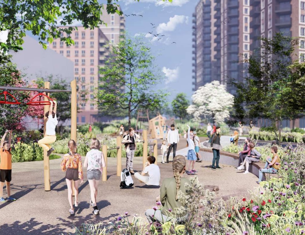
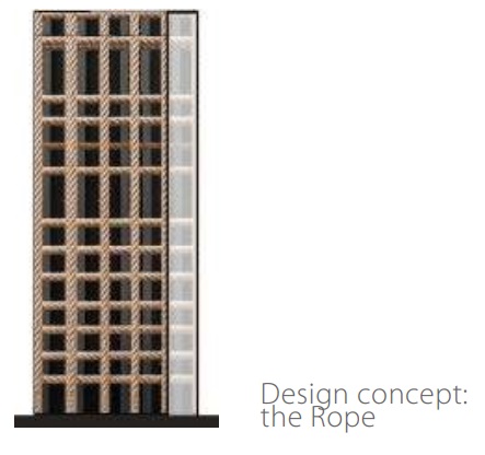
Boxes. Boxes everywhere
In terms of design it all seems very dull. Flat-topped boxes. Yawn.
There’s some decent detailing but it doesn’t disguise such dreary massing. This block would also be far better with double-height ground floor.
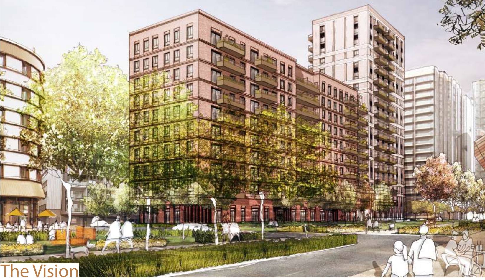
It just looks squat, dumpy and awkward in that render. PRP Architects were selected by Berkeley Homes.
I also really don’t like those horizontal bands both on both blocks accentuating it’s heft. Add in the customary stick-on balcony and it’s not great.
Also I have to give a shout-out to the amusing links to “Ropeyards” through documents.
It seems wedged in anywhere they can get it. Straight lines on a building? Rope obviously.
But what’s this? A wavy line? Clearly also a rope.
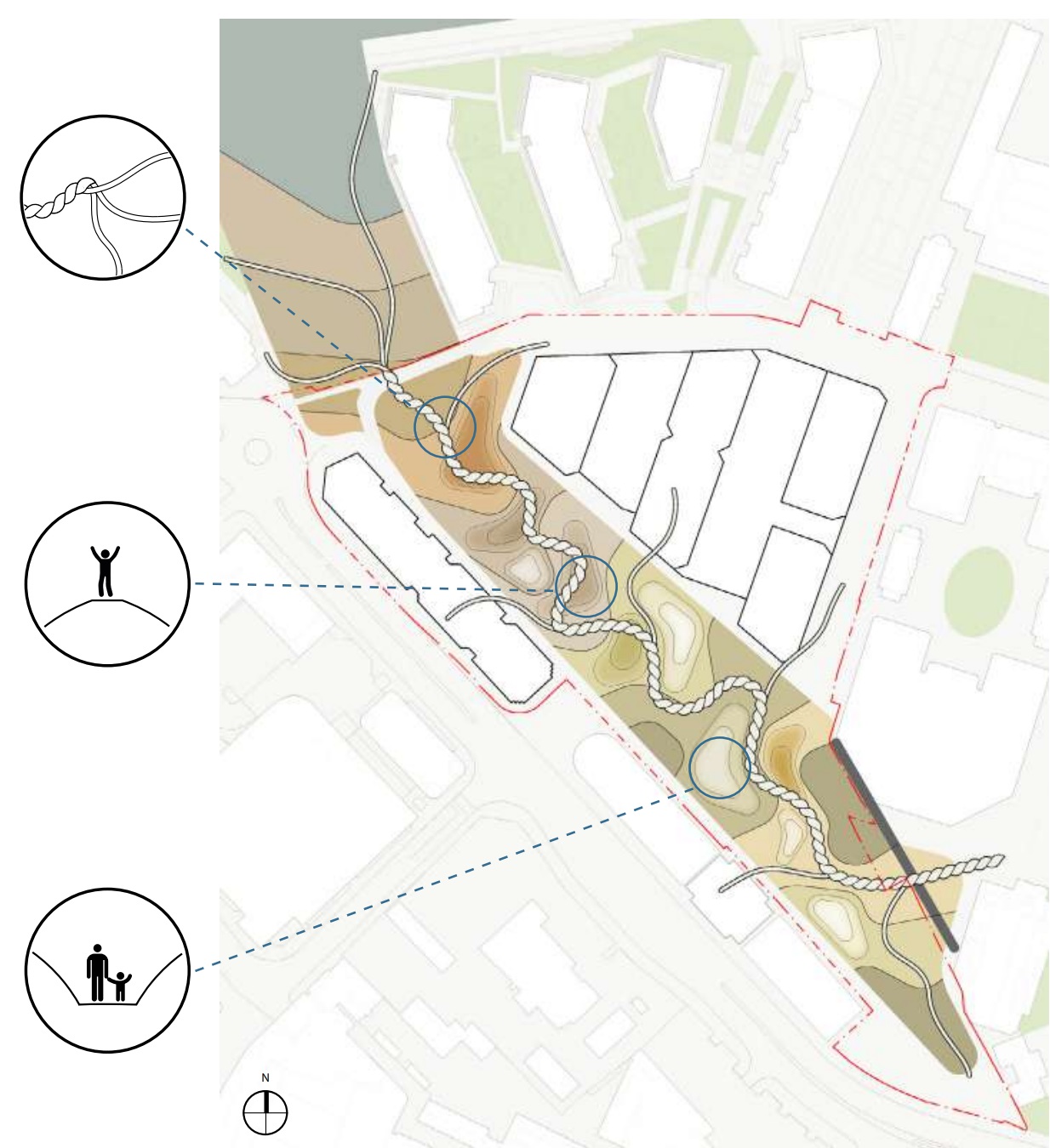
The bloke celebrating the glory of rope in the middle has the right idea. Go on son. Ropeyards!
When looking through planning documents these little bits of nonsense always raise a laugh so thanks for that.
The application can be viewed here.
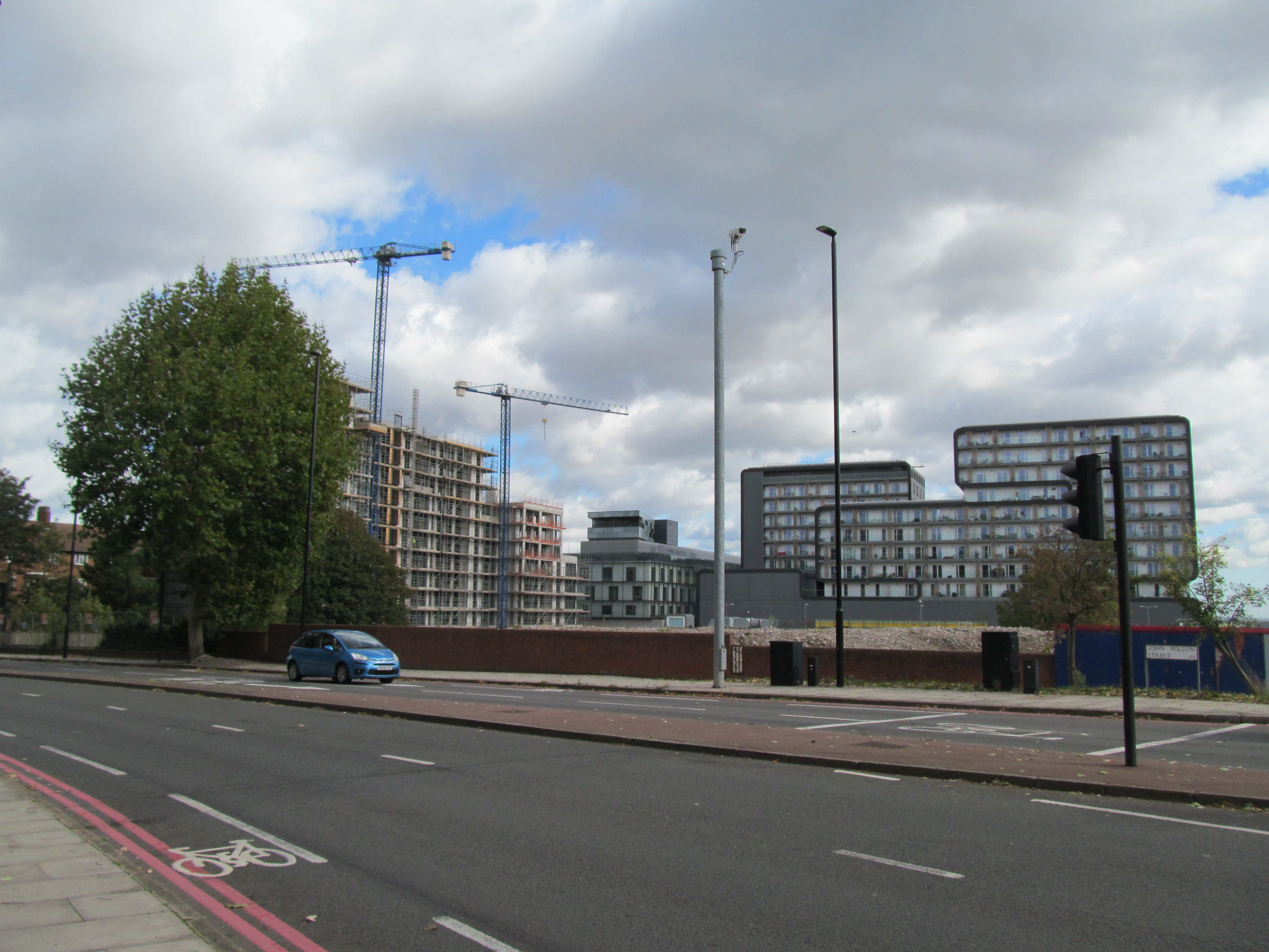
This of course is just one of many, many developments in Woolwich. Over the road (sort of) we await new plans for the MacBean Street site. Woolwich Exchange is also supposed to start this year but I’m dubious whether that will happen.
Other approved plans include housing around Tesco and near Woolwich Arsenal railways and DLR station as part of the leisure centre development. I took a few photos recently of changes there which will be in a forthcoming post. Keeps me busy.
Running a site alone takes time and a fair bit of money. Adverts are far from enough to cover it and my living costs as a private renter.
You can support me including via Paypal here Another option is via Patreon by clicking here You can also buy me a beer/coffee at Ko-fi here There's also a Facebook page for the site here Many thanks
Stupid TfL Planning that cyclists will divert via Powis Street and MacBean Street.
Even worse given the work currently in progress to improve Powis Street. A 2 way cycle lane will endanger pedestrians.
Thing is they would reasonably expect Greenwich Council to contribute. They kept requesting allocating funding during various planning app processes. Greenwich either refused or allocated penny change
PI appreciate we need the new homes. But Residents need some out door space in which to enjoy while living in such high density housing.
Funding for public realm improvements would certainly improve the appearance of the new developments and the area n general.
I do not understand why Greenwich Council are so reluctant to fund public realm improvements to make areas more safer and pleasant for all.
The amount of land lost in the park is made up for with converting the car park beside Premier Inn into open space with landscaping.
Aside from that, there’s no shortage of open spaces in the area. Some moving in will be living now in overcrowded flat shares or temp housing. A garden in a house may not be that great when sharing with 8 people in a HMO.
If I were to move here (I’m not as could never afford the private housing and not in severe enough need for social) I would be over in north Woolwich at the park there, or the nice greenery around St Marys church a short walk away even if I didn’t use the green strip right outside which extends a hundred metres to the Thames path. I could also get on the Elizabeth line and three minutes later be near Lesnes Abbey and the extensive woods in Abbey Wood. I could be in Greenwich park in 10 minutes on a Southeastern train to Maze Hill, or take a bus/train to Blackheath. The wonderful Maryon Park is walkable or two mins on a bus or cycle. So many nice open space can be reached in 10 minutes. I’d love it.
Another stupid wiggly path. Why do they do this in every open space these days?
Product of car centric mindset, where the extra distance of winding roads don’t matter, and slow down cars to make the area safer.
But for pedestrians and cyclists, these winding paths make things take much longer than necessary, and people end up just taking the desire paths accross the grass anyway. Look at any dutch park they’ll have nice straight bike paths running through it, but in Britain we have to take the scenic route.
Greenwich Council has Carbuncle-winning form, of course!
just turning woolwich into another lewisham block of flats after block of flats what was left of Woolwich has long gone and not for the better
Families needs homes with gardens for children to play safely in. Where parents can keep an eye on them.