Silvertown tunnel structures and road network continue to take shape
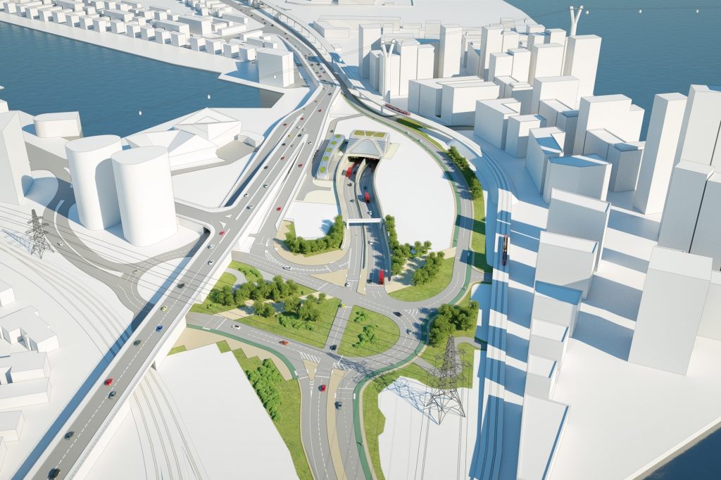
A little update now on how the Silvertown tunnel’s northern approach area is looking as tunnel opening is set for 18 months time.
You’ll have to forgive the lack of cable car shots today. With little time to get up there before sunset these are photos taken from the DLR.
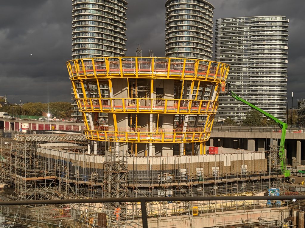
They are however pretty decent given the position of sun shining on the main control structure with dark clouds behind.
Further asphalt has been laid on a substantial roundabout acting as the link between the tunnel and wider road network.
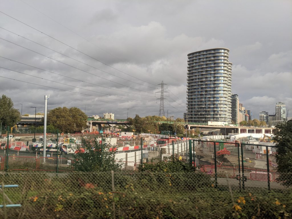
This is where just two new bus routes set to serve the tunnel will diverge with one route heading west to Canary Wharf and another east to Beckton.
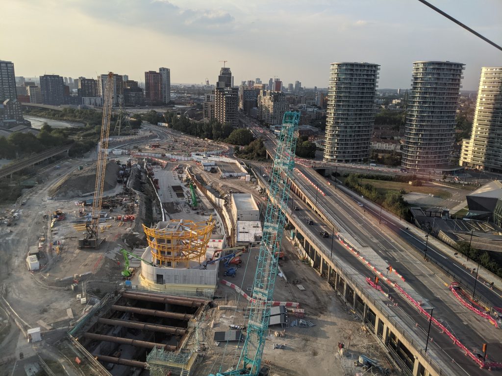
Impact of tunnel on new housing
The tunnel is expected to bring far greater levels of traffic to spot west of a major junction near the tunnel mouth via the Lower Lea Crossing, leading to an area seeing much new housing.
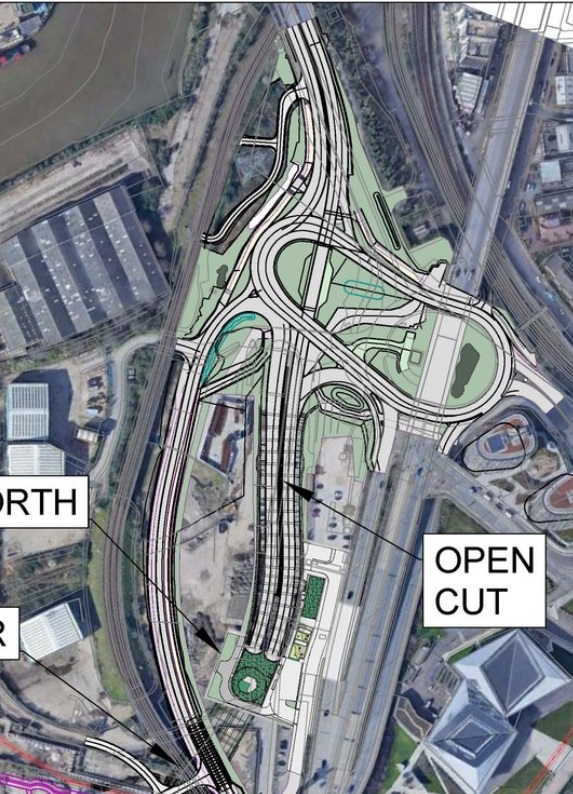
That includes recently completed homes at sites such as Orchard Wharf alongside forthcoming homes at sites such as Poplar Riverside.
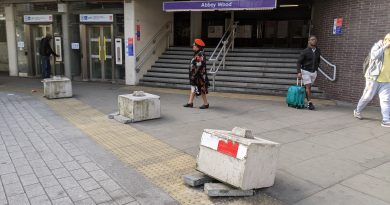
That promises to be a conflict point, and it appears vehicles have preference. The road network is not pedestrian friendly despite many new homes recently built with thousands planned.
Traffic flow is king. That will impede pedestrians from new housing reaching public transport including DLR stations.
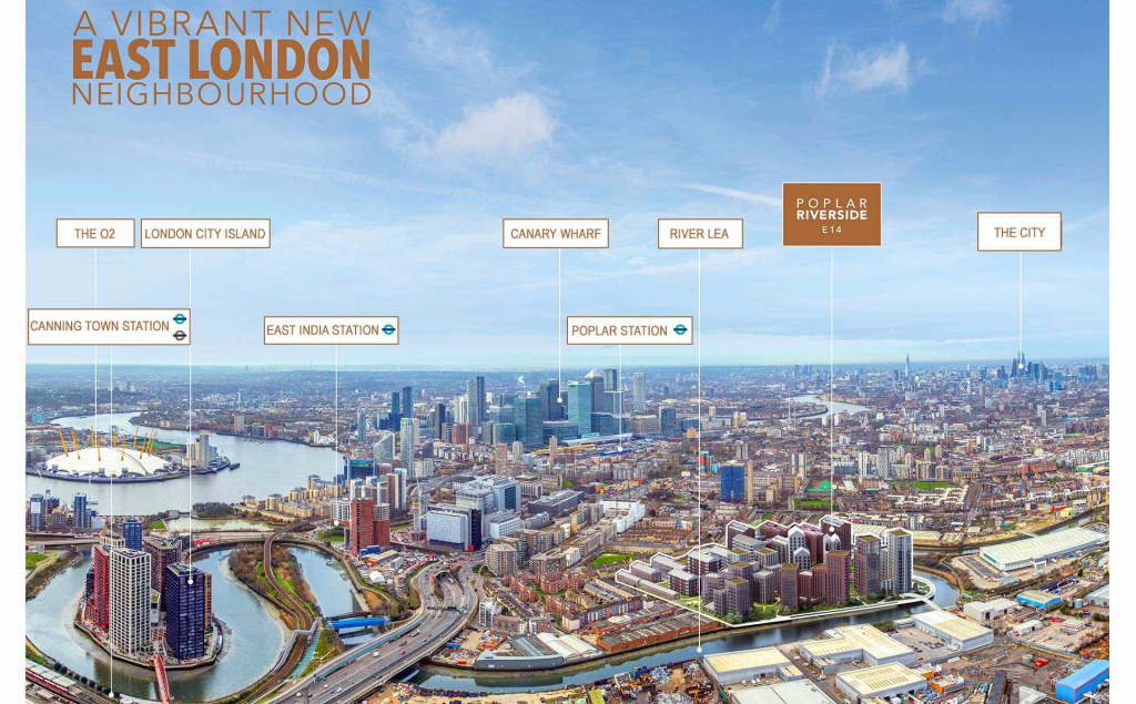
There is work underway to improve pedestrian and cycling routes to the east, which naturally gets much publicity from politicians behind and supportive of the tunnel. They’re far quieter on impacts elsewhere.
Tunnelling work completed this summer with opening expected in spring 2025.
Running a site alone takes time and a fair bit of money. Adverts are far from enough to cover it and my living costs as a private renter.
You can support me including via Paypal here Another option is via Patreon by clicking here You can also buy me a beer/coffee at Ko-fi here There's also a Facebook page for the site here Many thanks
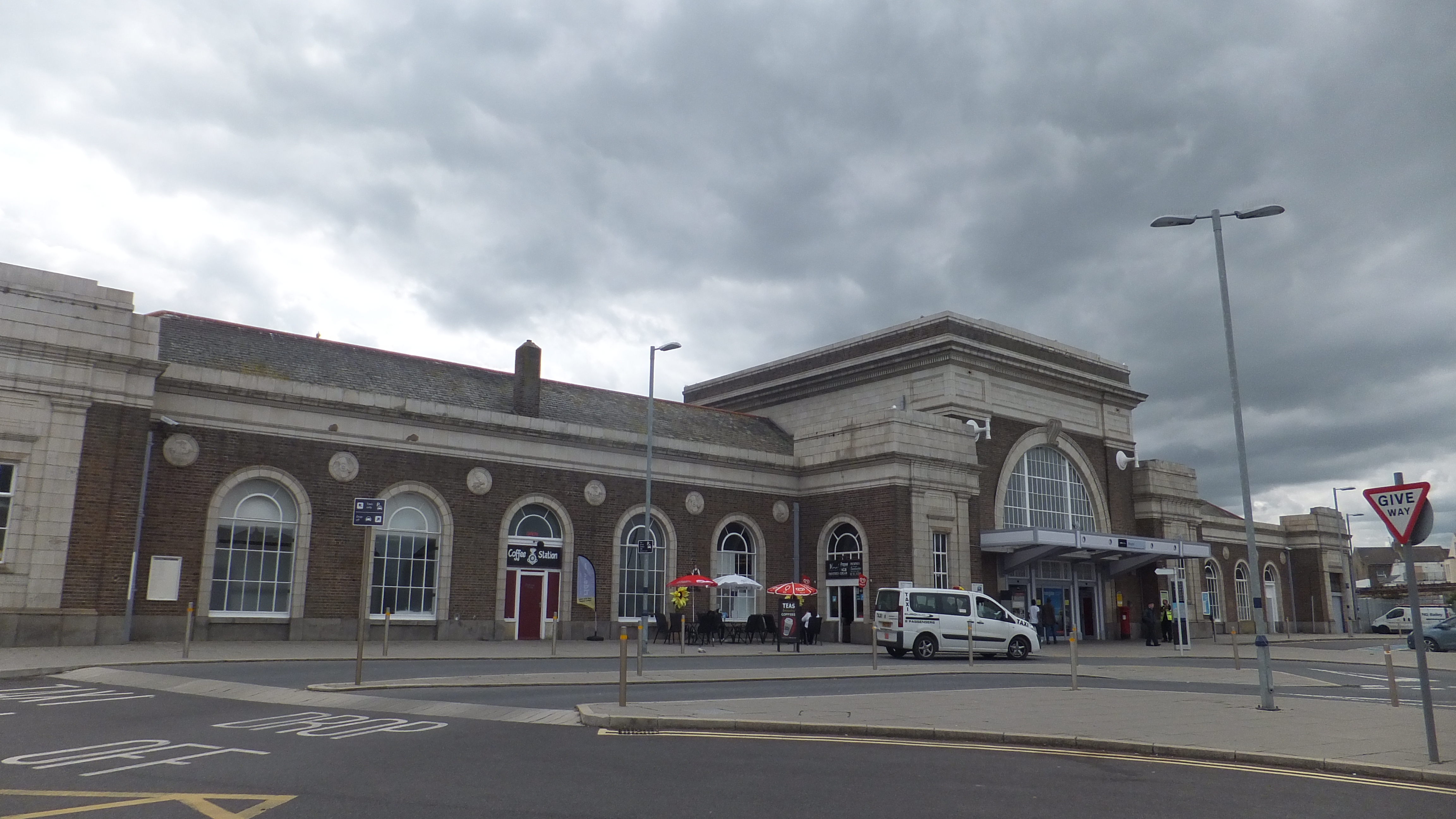
Business as usual then… car is king 😡