New public realm and transport interchange in Kidbrooke – are pedestrians being overlooked?
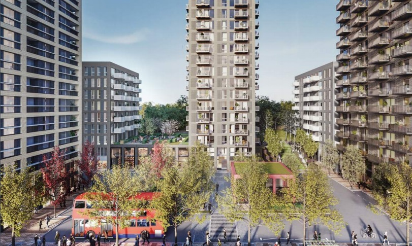
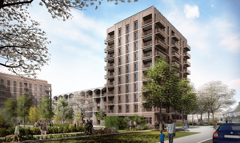
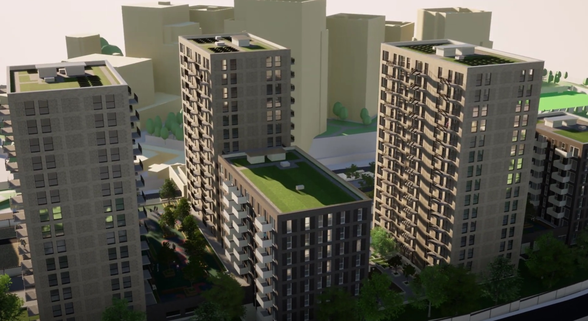
Plans have been submitted which cover public realm including a new transport interchange in Kidbrooke included as part of 619 homes being built by TfL to the north of the station.
This is separate to plans just to the south where a new station building has been built as part of the Kidbrooke Village development, with TfL’s interchange seeing bus stops near the existing northern station entrance.
Perhaps interchange is a bit grandiose given its bus stops beside a station, though it will serve not only 619 homes alongside but 119 new social homes being built by Greenwich Council.
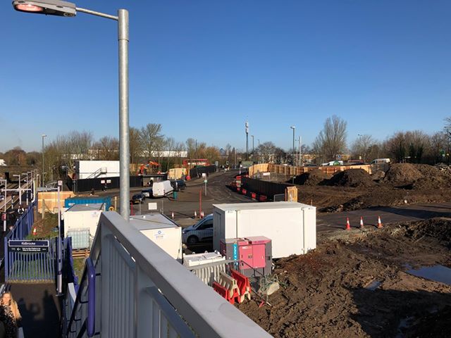
The first things that stands out in plans is no sign of a new station entrance so the existing gate could remain. Somewhat odd to build an expensive new station building one side of the tracks then leave the other without barriers you might think, but this is Southeastern Metro where similar happens at many stations as no one will pay to secure other entrances for safety and revenue protection.
If TfL ran the network would they ensure a gated entrance beside their new development? I’m guessing they would. Cohesive planning? Doesn’t tend to exist with fragmented operation. When I cover many planning applications it’s notable the lack of engagement between developers, Greenwich Council, Network Rail and Southeastern in areas served by rail compared to those areas where the Underground or DLR operate.

As for the bus interchange it’s not much different to the old – though of course the general area will now be busier with less waiting in an isolated spot. As for wider public realm changes, there still appears to be a lack of signalised crossings for pedestrians between new homes, the station and amenities. I’ve highlighted it here in blue. There is no indication of a street-level crossing. Note the lack of dots running across the road indicating a formal crossing on this TfL managed section:

This means pedestrians have no “green man” light and so have to take their chances, or use an unwelcoming underpass or take a longer route. The quickest route from 619 homes to an Aldi supermarket two minutes away has no formal crossing point on the most direct route for pedestrians.
For those who don’t know the area this area typifies how events have moved faster than design, as for many years it was little more than overgrown bushes beside the A2 slip road. Pedestrians had dingy underpasses to cross roads. Then came thousands of homes – but the underpasses remain. Thousands more homes are coming.
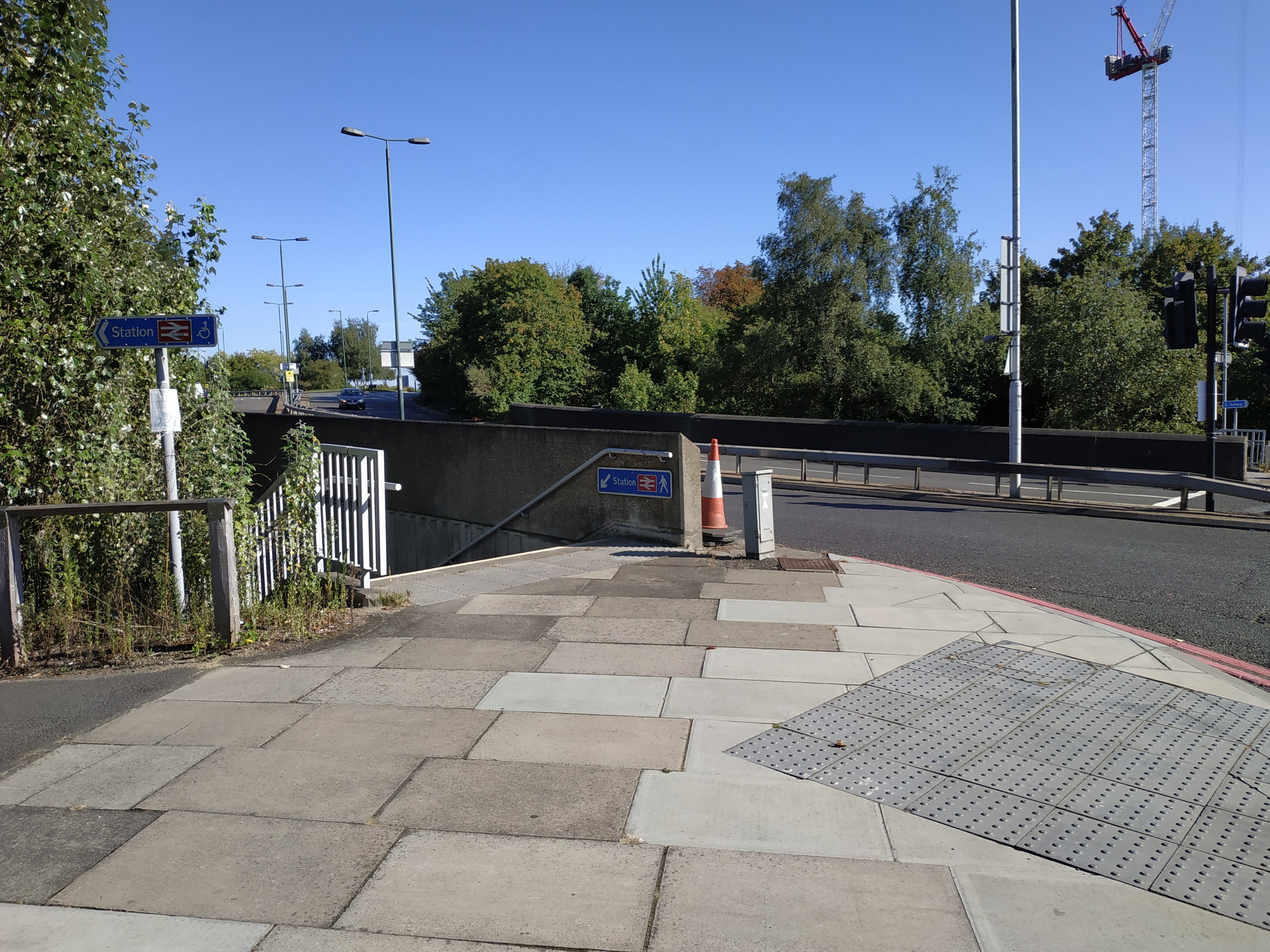
Pedestrians can take three other pedestrian crossings to reach Aldi but we know people just don’t do that. People take the shortest route. And the underpass simply isn’t appealing to many. If we want to talk about carbon reduction strategies as Greenwich do, it’s things like this that can make walking easier, safer and quicker.
Thus it’s a great shame to see these plans not appear to cover this crossing point at all. Could it be because this section of the A2 is due to become far busier according to TfL when Silvertown Tunnel opens – and traffic flow is the priority? This could well be another impact Silvertown will have in years to come miles away from the tunnel in Greenwich itself.


They like to call it an interchange as its boost the idea that Kidbrooke is a major transport hub. This goes back to the old London Plan whereby high rise developments would be allowed along the river and around major transport hubs. Overnight Kidbrooke with a one up and one down train line and a bus stop became a major transport hub. This opened the way for doubling and trebling the height of the apartment blocks in Kidbrooke Village. I doubt anyone will address the issue of wheelchair accessibility to either side of the railway line particularly as the proposed cycle link from Eltham to Greenwich could see Eltham Green Road / Birdbrook Road closed to cars near the turning to the station. The lack of pedestrian crossings with lights in the vicinity is a disgrace particularly with Thomas Tallis pupils having to dodge round moving traffic to avoid the underpass.