The latest look at Ikea progress in Greenwich: June 2018 update
With Ikea opening in Greenwich soon many people are waiting with excitement whilst many others with trepidation. I took a trip to see how the store build is progressing as well as any movement on infrastructure in the area
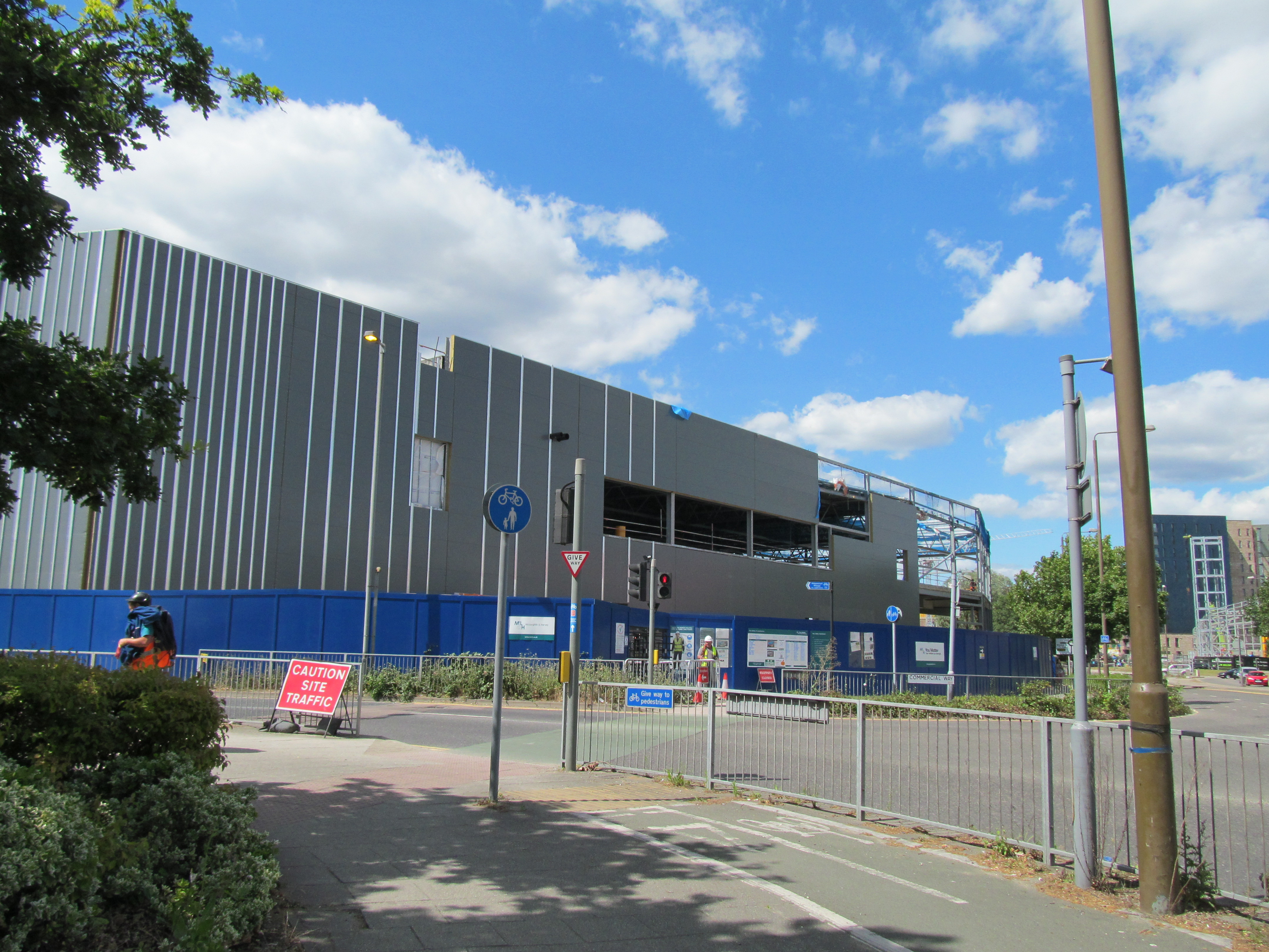
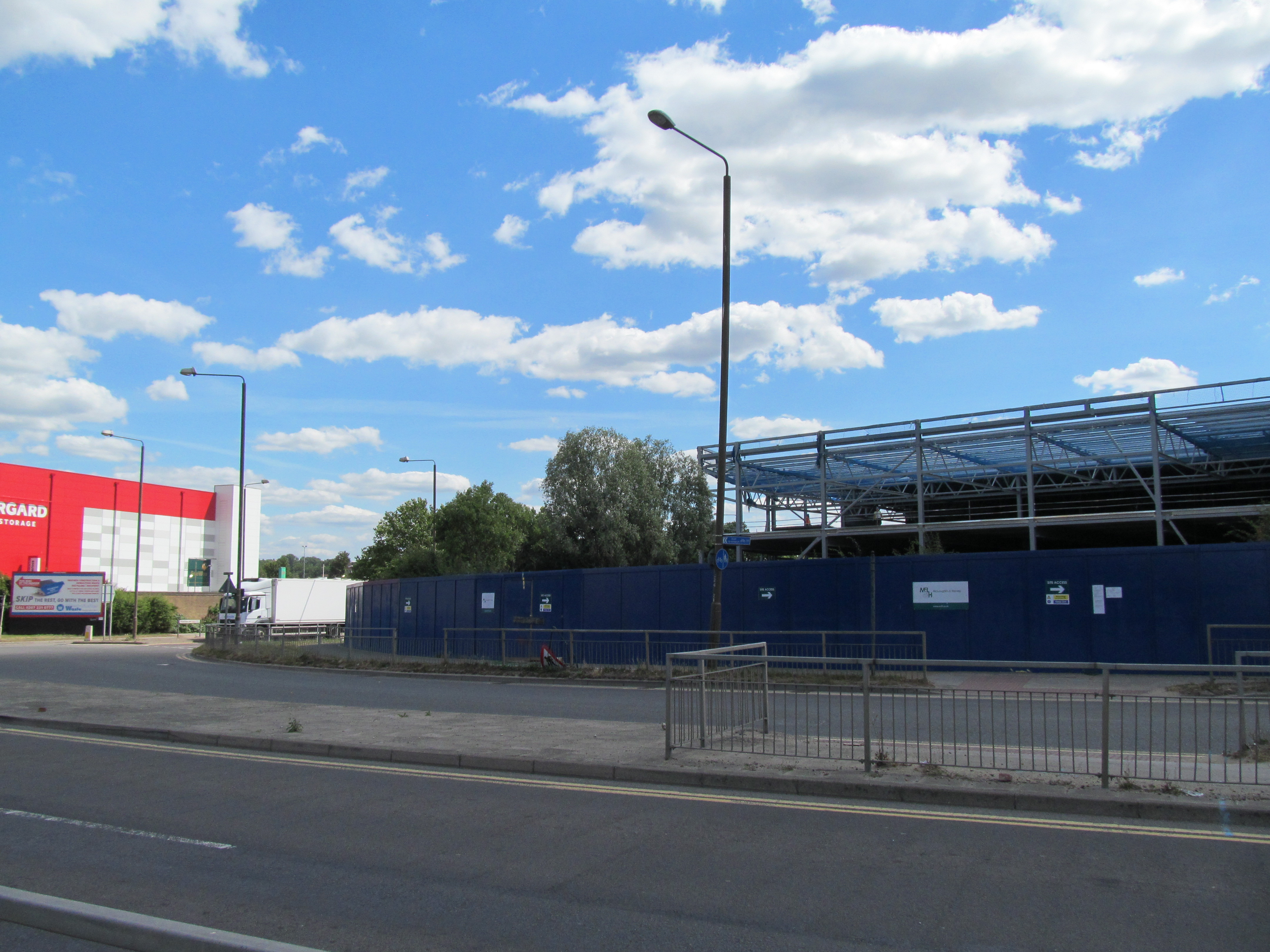
Firstly, the giant box is now complete with cladding now being attached. It’s a dreary old shade of grey. 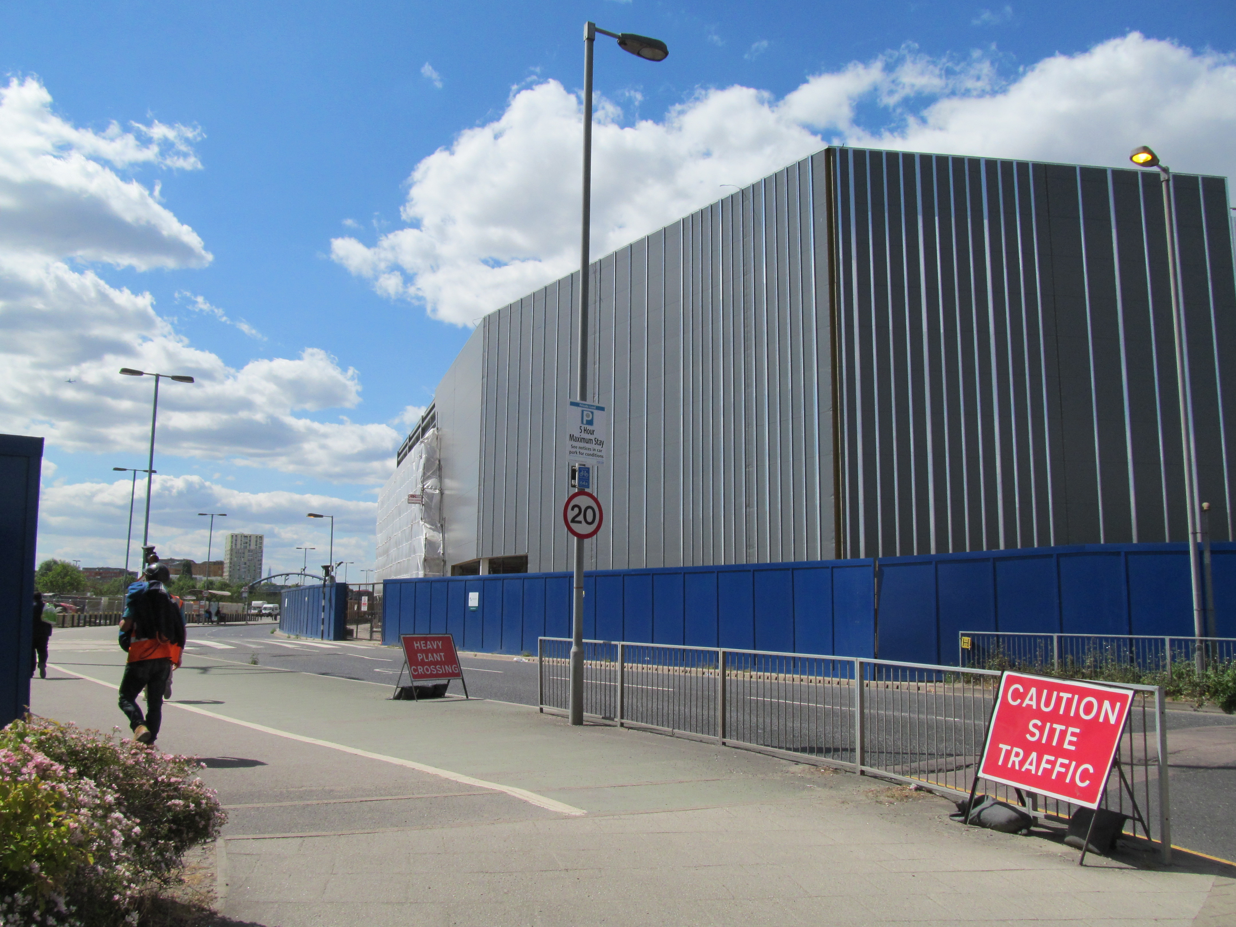
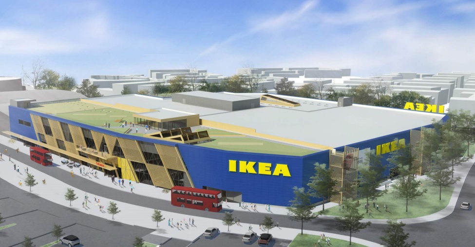
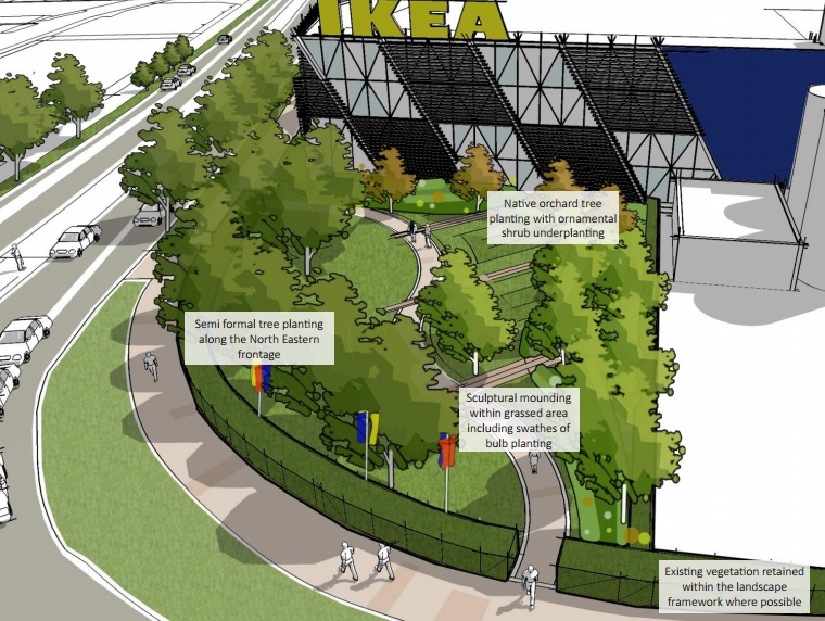
The renders show a blue exterior so it could be attached above. A cafe will be located on the roof of the store.
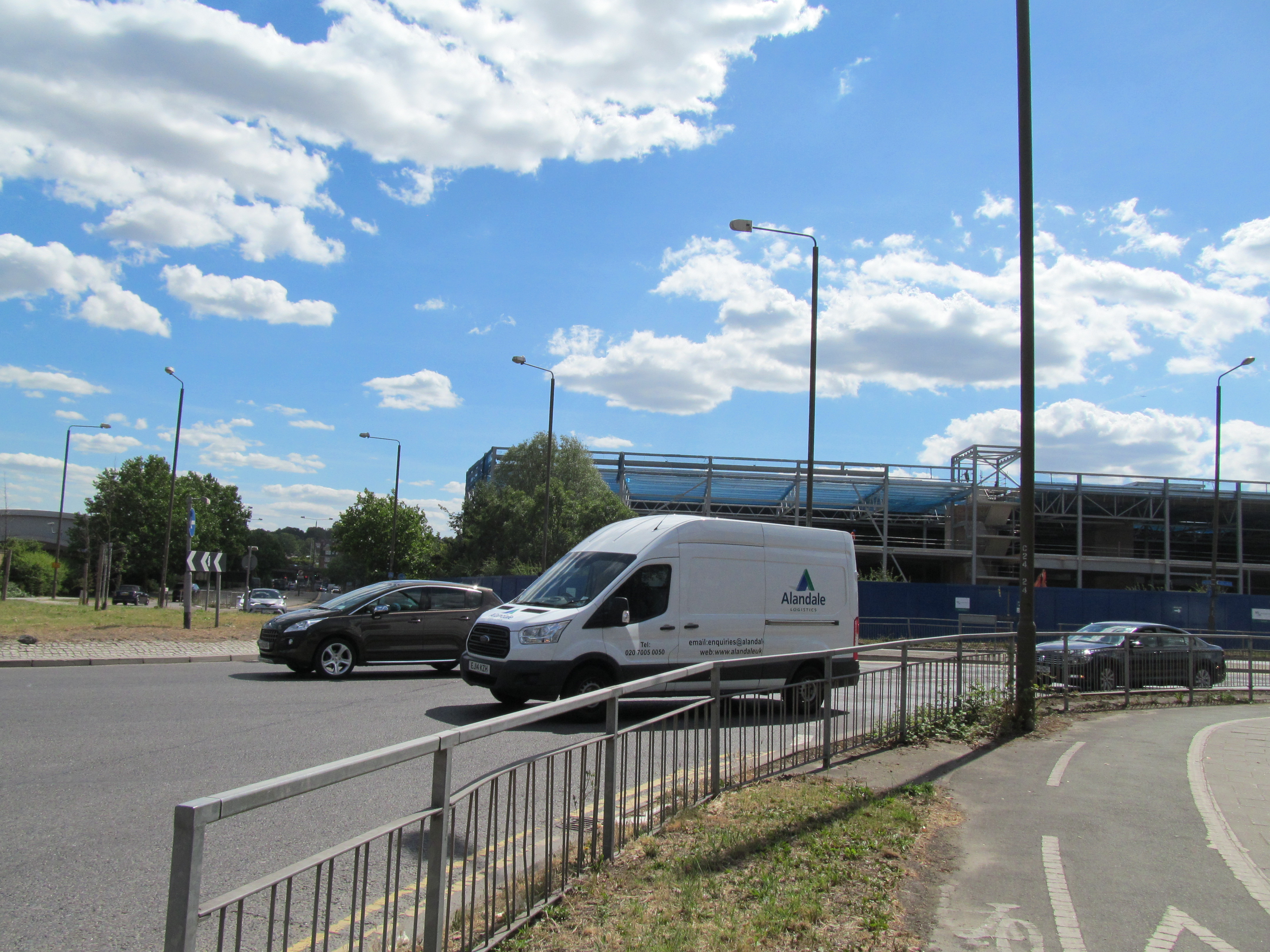
In terms of infrastructure there’s no sign of any work whatsoever. We know Greenwich Council have received £1.7 million for “transport” from the development alongside £115,000 for “open space”.
The issue is what Greenwich decide “transport” includes. Pedestrians? Cyclists? That’s if it’s even spent.
It could be that work will commence in coming months but that’s been expected before at various developments in the area where little happened. Remember that £514,000 from Sainsburys given to Greenwich Council in 2015 to improve the local area? Still unspent.
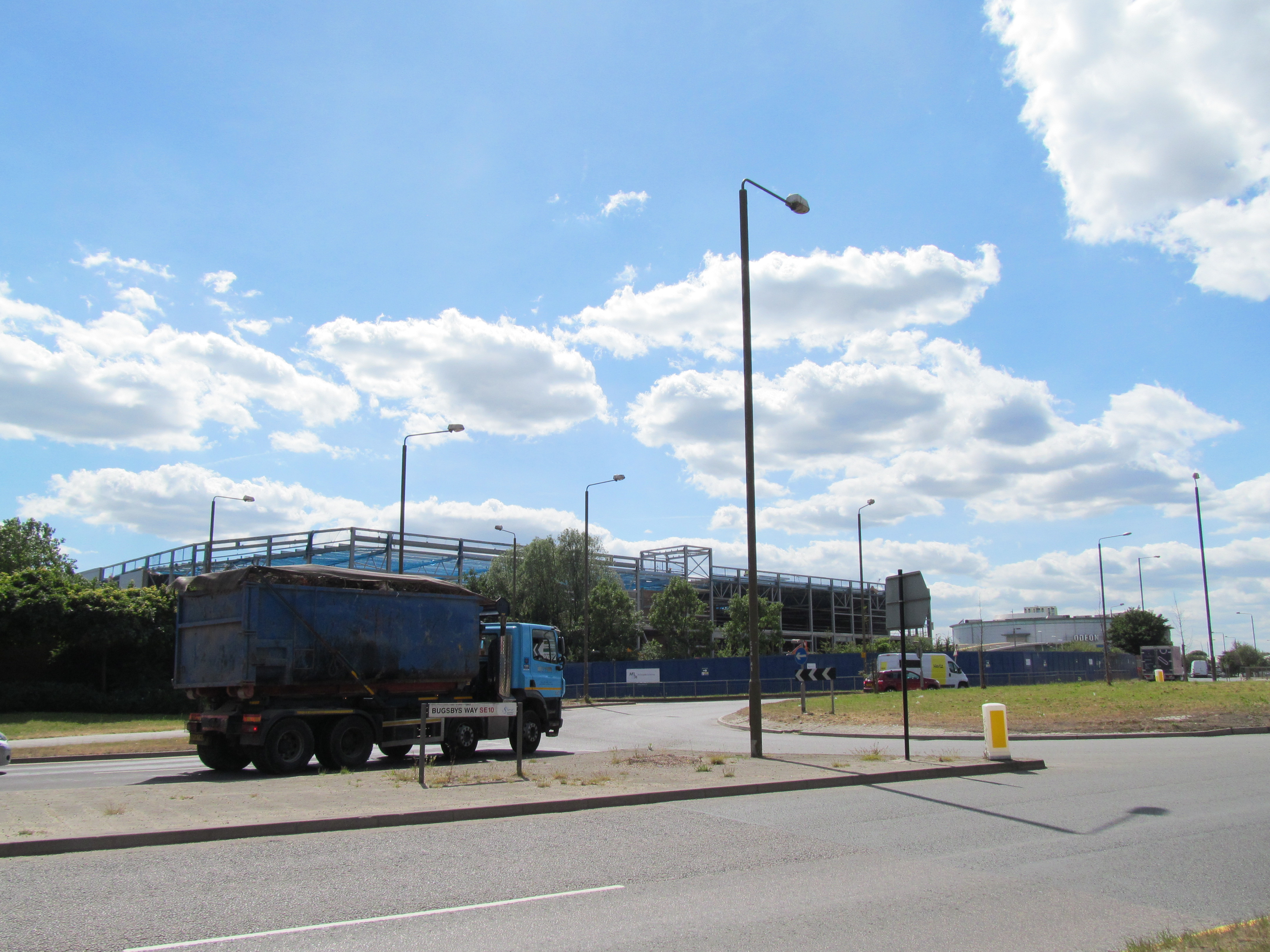
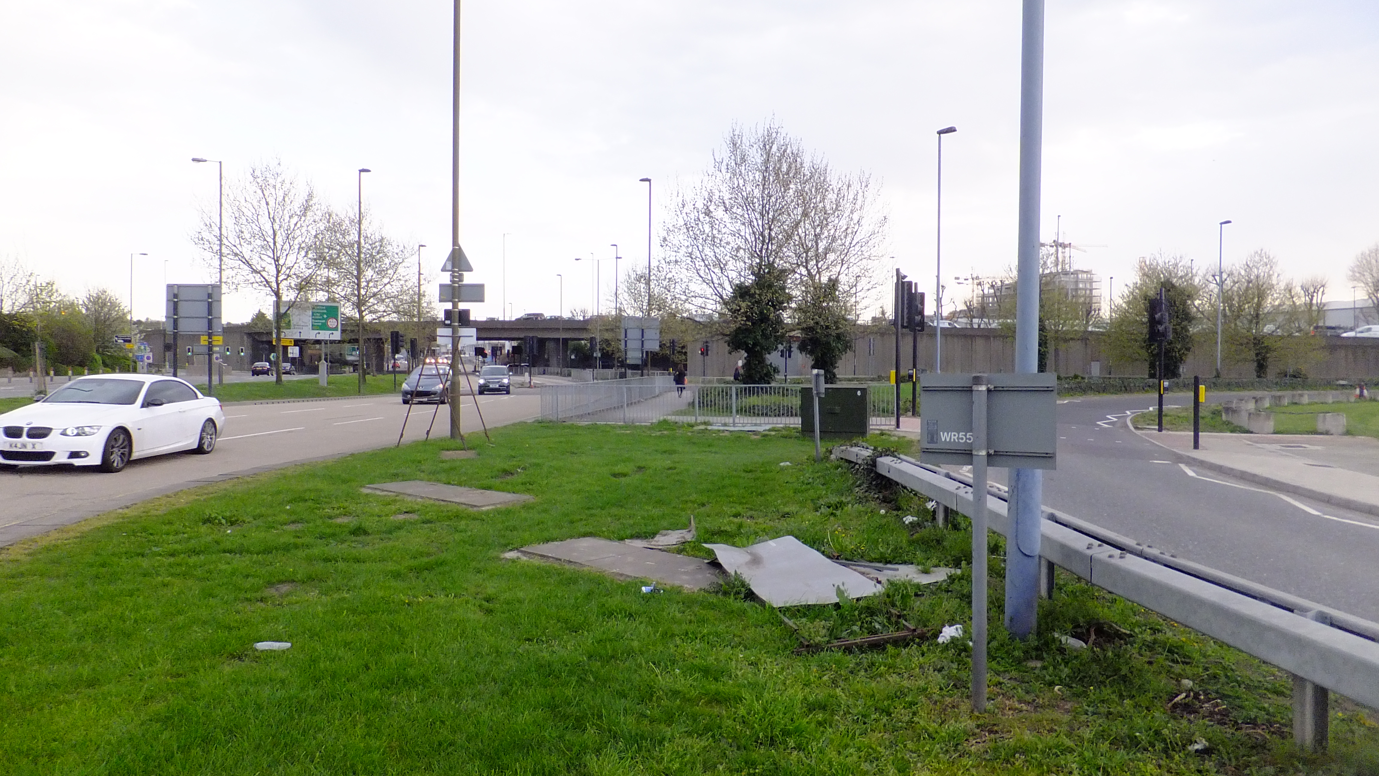
New-builds at Greenwich Millenium Village are being built over an adjacent roundabout but there’s no particularly safe or direct crossing to reach the new store:
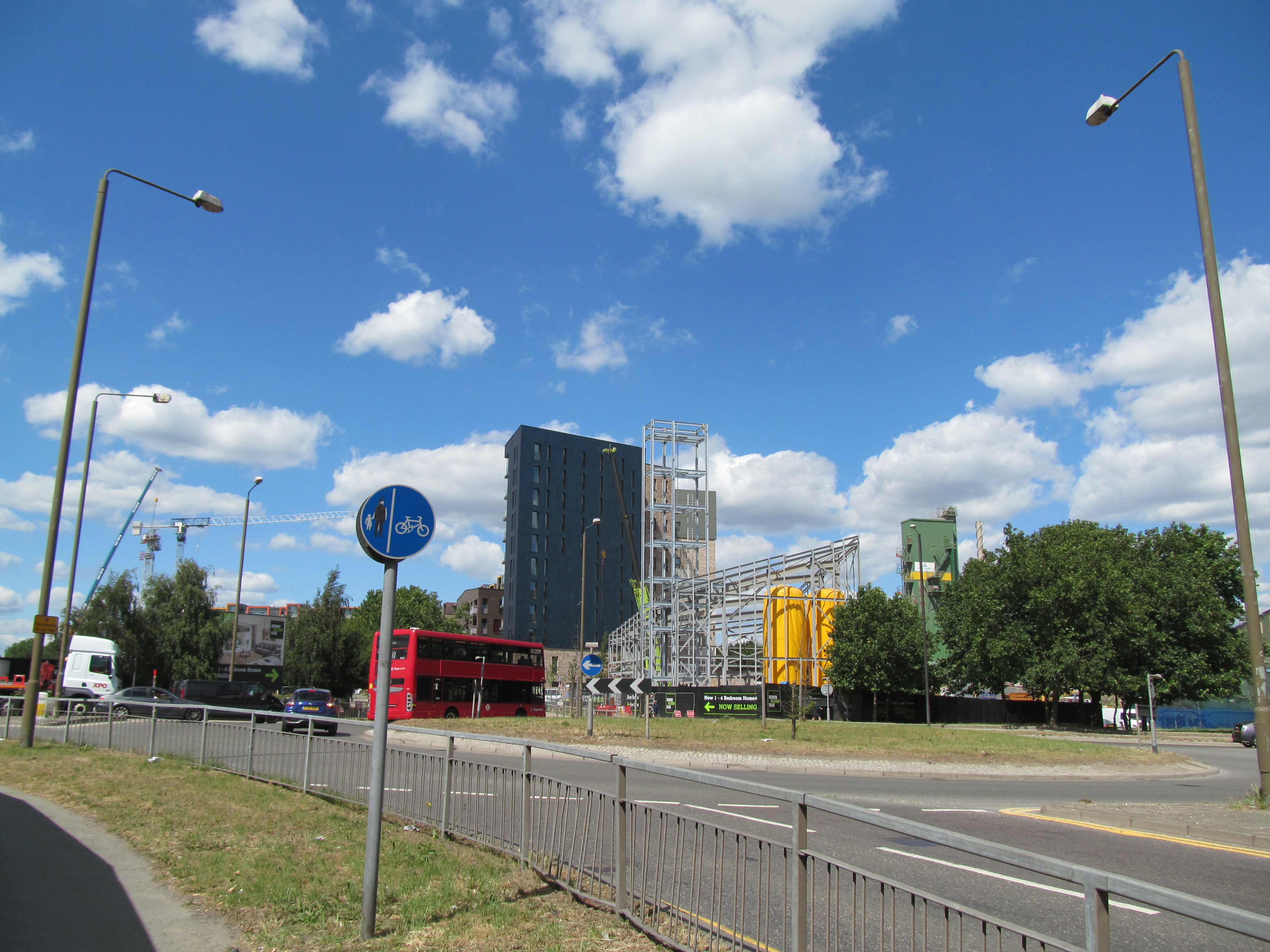
Each road facing the roundabout could see a zebra crossing installed at the very least.
This shot below does the a job of summing up the state of the street and anti-pedestrian design. This is looking towards forthcoming green space:
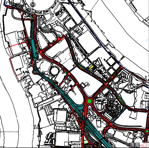
By the way, all these roads are manged by Greenwich Council and not TfL:
Without any changes accidents are feared with thousands of additional homes, the Ikea plus the new St Mary Magdalene school in the vicinity.
Development is not slowing down in the area yet these streets are straight out of a 1980s handbook and more suited to rural A roads.
Will the recent shake up of Greenwich’s Cabinet lead to any movement on better streets?
Enjoy the site? Become a patron at Patreon.com/TheMurkyDepths
Or send a few quid through the new Ko-Fi service
Yes, the streets in that area are dire. I never look forward to having to pick something up from the post office depot.
The 108, never the most prompt or roomy of buses may as well just be retooled as a static caravan once traffic brings that island to a standstill. Given its location I wouldn’t be surprised to see nearby residents trying to cart large flatpacks around the corner or on the bus to the new developments. I’m sure the council will do what’s right and eventually put in a cycle lane
It’s outrageous that with the store due to open in six months that no plans have been revealed as to how the extra traffic around the site will be managed.
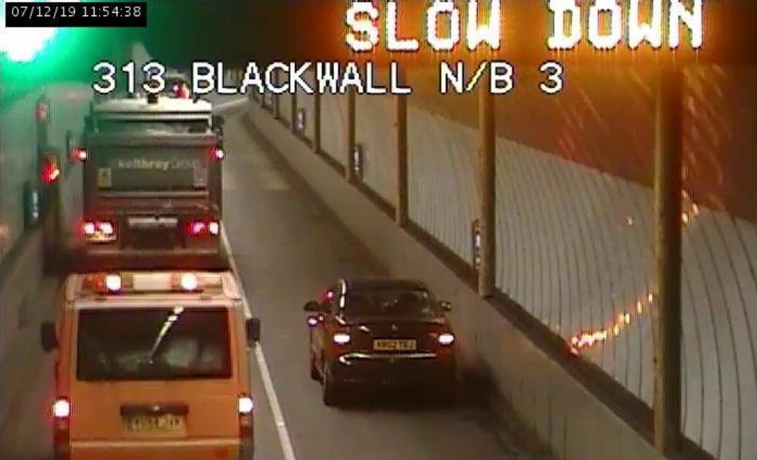
With Blackwall tunnel just around the corner the surplus of traffic will be a nightmare for people going to north Greenwich underground. They need to have new traffic layout and quickly too.
@Charles, that mental image made me laugh out loud.
@Gordon and @Gill, there is no plan. However, given the existing bottleneck at the East Greenwich roundabout, the dirty, great flyover leading to/from Blackwall Tunnel and the three slip roads, I can’t see where improvements could be made.
Your road map is of the wrong area, the road map you’ve got is leading up to the O2 not where the new IKEA is going, the building site where the new IKEA is going is way down in the bottom right corner of the map so really you’re not showing the roads around the new build, really come on get your facts right if you’re going to show a map of the area!
The far bottom right shows roads around Ikea on that map including the roundabout covered above. Plus, you could zoom out a further mile and doesn’t change a thing – TfL do not manage roads around Ikea or Peninsula except the Blackwall Approach and Bus Way.